Login

Forgot your login?

Cookies have to be accepted!
Your browser's cookie functionality is disabled. Please enable this functionality.

Not a member yet?

Register now
Login

Available for registred users only

Log in to use this feature.

Forgot your login?

Cookies have to be accepted!
Your browser's cookie functionality is disabled. Please enable this functionality.

Not a member yet?

Register now
Filter
Categories
Advanced filters
  • Distance (km)
  • Height
Save filters Reset filter

TrackRank

QRCode

Technical data

Distance38,1 km Height1136 m Way down1151 m Duration02:49 h:m Date15.07.2017
Scores Author Landscape Fun factor Fitness Technique

Statistics

181 Views Scores 13 Downloads Average
Rate
  • Track data sheet
  • Directions
  • Downloads
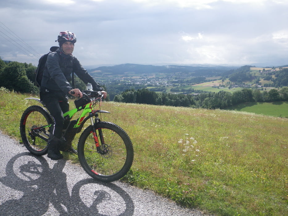
14 Jahre nach unserem Kennenlernen, besuchte mich Harald Zwirner und fuhr mit mir diese Tour. Und das bei eher suboptimalen Wetterbedingungen. Es war ein Vergnügen, die Radlerfreundschaft wieder aufleben zu lassen!

Tour gallery

Tour map and elevation profile

  • Open Street Map
  • Google
Minimum height 552 m Maximum height 953 m Detailed view

More about the tour author

rjkas
Member since 2003

Send private message

Comments

GPS tracks

Trackpoints
  • GPX / Garmin Map Source (gpx) download
  • TCX / Garmin Training Center® (tcx) download
  • CRS / Garmin Training Center® (crs) download
  • Google Earth (kml) download
  • G7ToWin (g7t) download
  • TTQV (trk) download
  • Overlay (ovl) download
  • Fugawi (txt) download
  • Kompass (DAV) Track (tk) download
  • Track data sheet (pdf) download
  • Original file of the author (tcx) download

More about the tour author

rjkas
Member since 2003

Send private message
Share track
Add to my favorites
Remove from my favorites
Edit tags
My score
Rate
Track: Euregio 2017 - Variante > e-mtb
Type: Mountain bike
Distance: 38,1 km
Evaluated on:
Duration:
Day(s)
Hour(s)
Minute(s)
Score: Landscape Fun factor Fitness Technique