


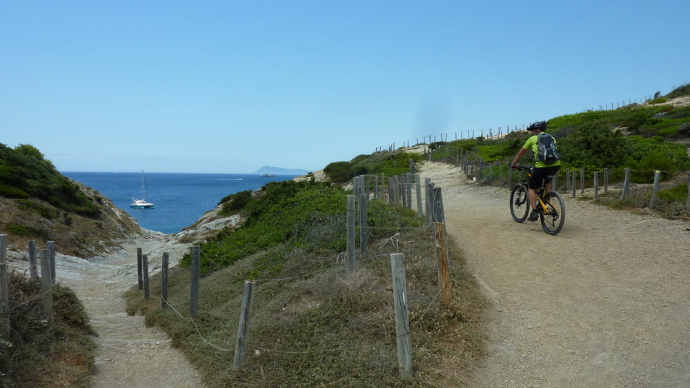
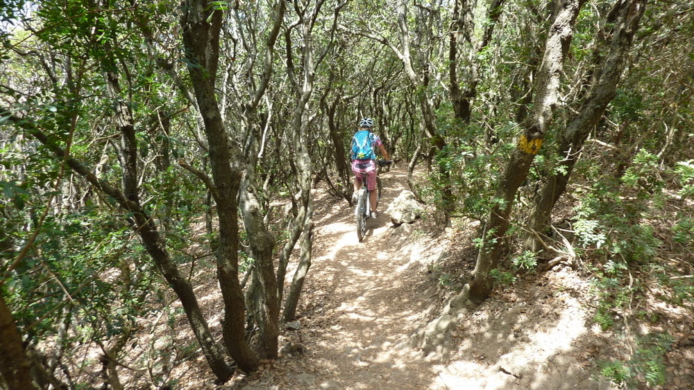
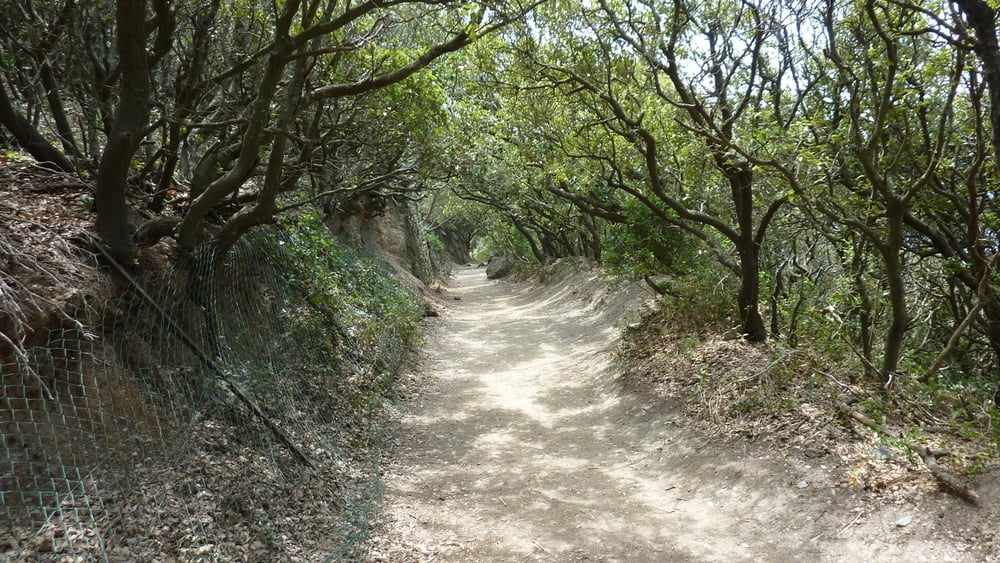
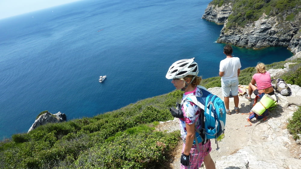
Eine Alternative zu dem beliebten Küstenwanderweg im Westen der Halbinsel, der für Fahrradfahrer verboten ist (ist auch stellenweise tatsächlich nicht befahrbar!). Die Tour führt immer wieder an einige Aussichtspunkte und Badebuchten, wo man auf den Wanderweg trifft. Überwiegend auf Schotter und Singletrails führt der leicht fahrbare Weg, der aber Spaß macht und tolle Aussichten bietet. Badehose und Bikini nicht vergessen.
Die Abstecher von der Rundtour sind gewollt und führen zu schönen Plätzen!
Tour gallery
Tour map and elevation profile
Minimum height -2 m
Maximum height 90 m
More about the tour author
|
|
tomboarder |
Comments

Camping International an der Nordküste der Halbinsel, kurz nach dem Verbindungsdamm zum Festland in Richtung Westen.
GPS tracks
Trackpoints-
GPX / Garmin Map Source (gpx) download
-
TCX / Garmin Training Center® (tcx) download
-
CRS / Garmin Training Center® (crs) download
-
Google Earth (kml) download
-
G7ToWin (g7t) download
-
TTQV (trk) download
-
Overlay (ovl) download
-
Fugawi (txt) download
-
Kompass (DAV) Track (tk) download
-
Track data sheet (pdf) download
-
Original file of the author (gpx) download
More about the tour author
|
|
tomboarder |
Add to my favorites
Remove from my favorites
Edit tags
Open track
My score
Rate