


Enduro Tour im Hinterland von Albenga
Start in Nasino auf Strasse / Fahrweg bis zum kurz vor den Monte Dubasso 1538m. Die letzen Höhenmeter geht es auf weitgehend fahrbarem Trail (AV) zum Monte Dubasso 1538m. Unterwegs hat es eine Bar Restaurant am Ende der Teerstrasse bei der Madonna Del Lago auf 1020m. Auch Bademöglichkeit.
Abfahrt Enduro einige Kilometer auf dem AV Weg bis zum Sattel vor dem Mt. Galero (Colle Del Prione 1307m). Sehr schöner Trail und Landschaft.
Dann Abfahrt ins Tal auf Wanderweg S1-S2 (wenig S3) nach Nasino. Am Colle Del Prione 1307m kann man auch direkt finalen Abfahrt fahren. Bei Costa Crosa muß man ca. 70hm hochschieben, das kann man weglassen, ist aber ganz nett (Motorrad - Trail Gelände). Mit ebike war das auch fahrbar.
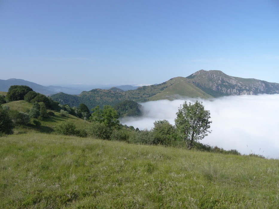
Tour gallery


Tour map and elevation profile
Minimum height 282 m
Maximum height 1538 m
More about the tour author
|
|
skyhopper |
Comments

Parken in Nasino am Touranfang.
GPS tracks
Trackpoints-
GPX / Garmin Map Source (gpx) download
-
TCX / Garmin Training Center® (tcx) download
-
CRS / Garmin Training Center® (crs) download
-
Google Earth (kml) download
-
G7ToWin (g7t) download
-
TTQV (trk) download
-
Overlay (ovl) download
-
Fugawi (txt) download
-
Kompass (DAV) Track (tk) download
-
Track data sheet (pdf) download
-
Original file of the author (gpx) download
More about the tour author
|
|
skyhopper |
Add to my favorites
Remove from my favorites
Edit tags
Open track
My score
Rate