
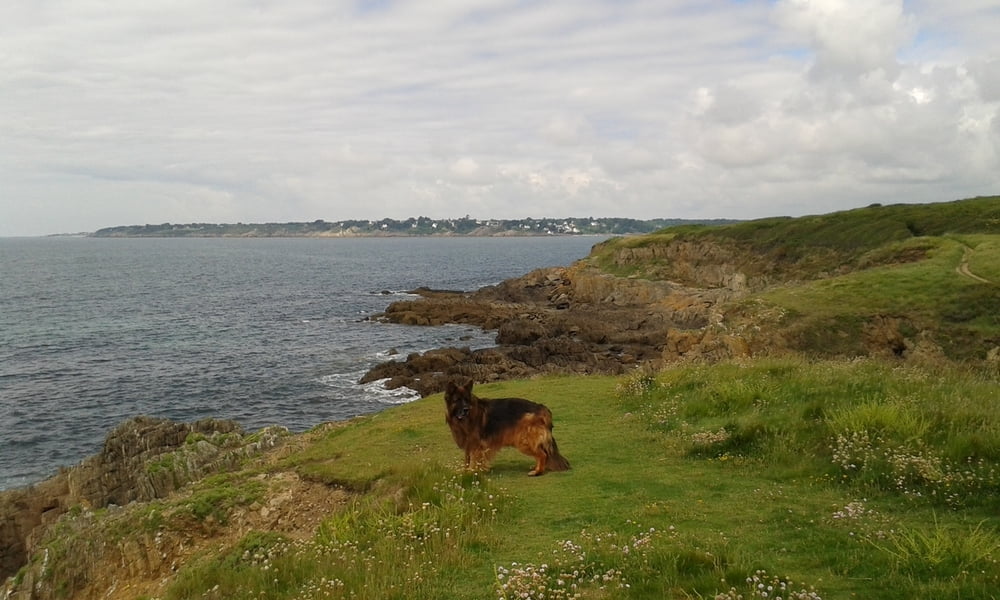

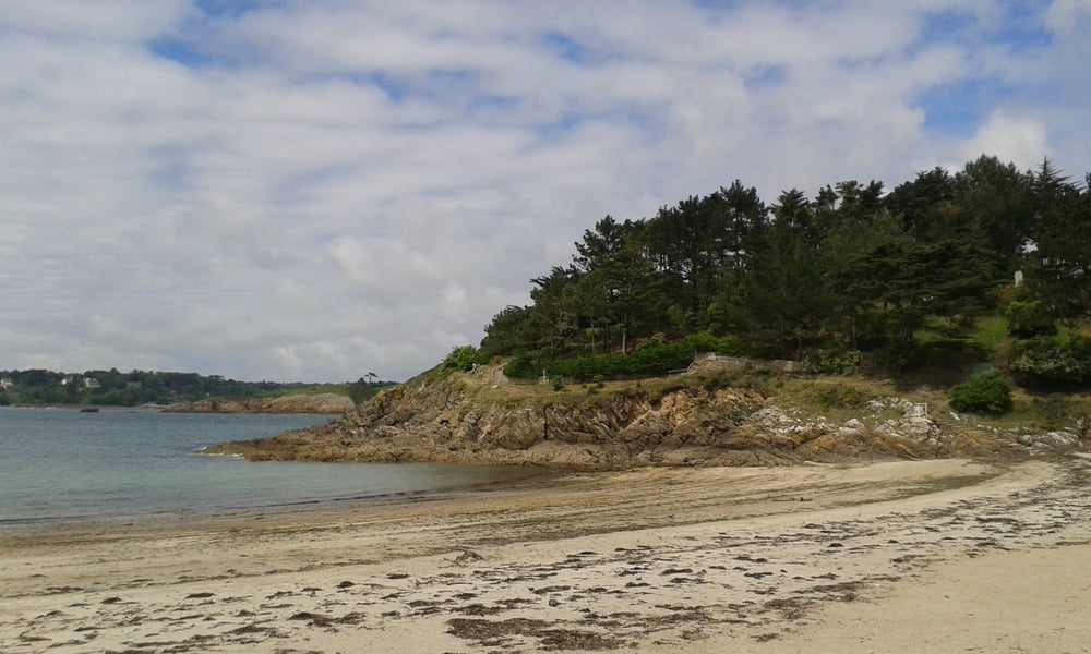
Wir wandern herrlich am Atlantik entlang auf dem Sentier Côtier, dem alten Zöllnerpfad, von Kerfany les Pins nach Malachappe. Kerfany les Pins ist ein kleiner, idyllischer Küstenort an der Belon-Mündung. Von dort wandern wir auf dem Sentier Côtier immer am Atlantik entlang nach Malachappe. Es geht immer ein wenig auf und ab, aber doch weitgehend eben dahin. Eben am Meer entlang. Steiniger wird die Küste übrigens ab der Hälfte ungefähr, unterhalb von Kersolf. Genau dort liegt auch eine originelle Verpflegungsstation: Ein umgebauter Doppeldeckerbus. Unbedingt empfehlenswert, hier eine kleine (oder größere) Stärkung zu sich zu nehmen.
Tour gallery


Tour map and elevation profile
Minimum height 1 m
Maximum height 23 m
More about the tour author
|
|
Sigi2910 |
Comments

GPS tracks
Trackpoints-
GPX / Garmin Map Source (gpx) download
-
TCX / Garmin Training Center® (tcx) download
-
CRS / Garmin Training Center® (crs) download
-
Google Earth (kml) download
-
G7ToWin (g7t) download
-
TTQV (trk) download
-
Overlay (ovl) download
-
Fugawi (txt) download
-
Kompass (DAV) Track (tk) download
-
Track data sheet (pdf) download
-
Original file of the author (gpx) download
More about the tour author
|
|
Sigi2910 |
Add to my favorites
Remove from my favorites
Edit tags
Open track
My score
Rate