
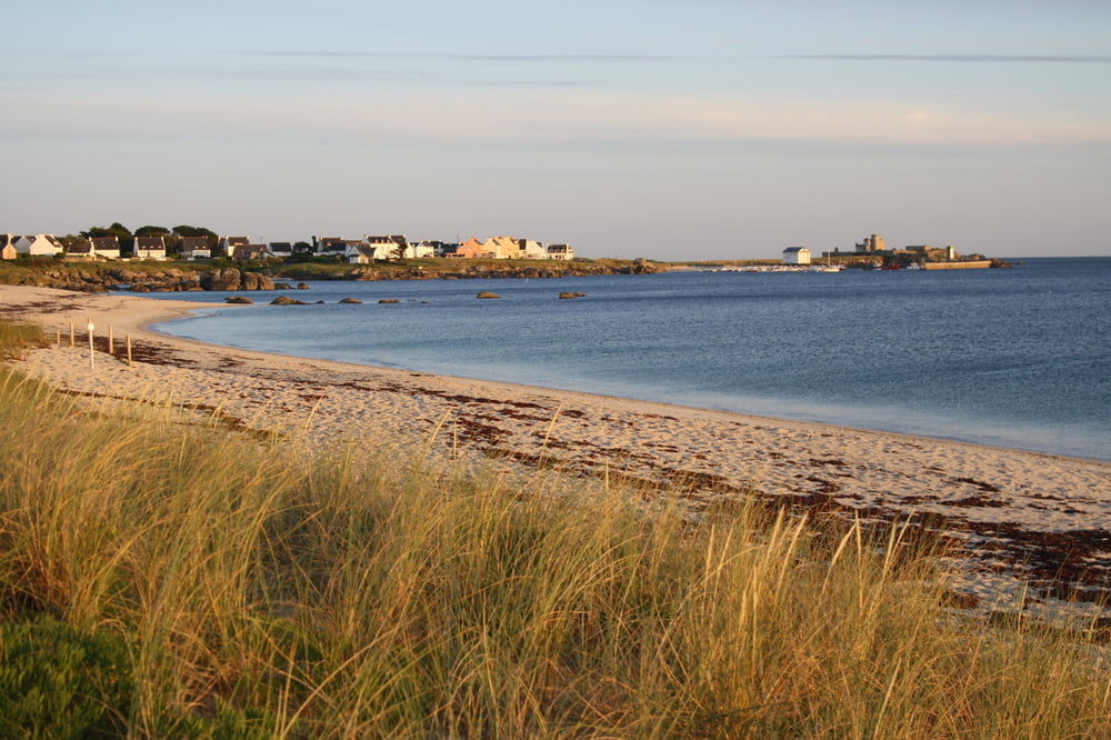

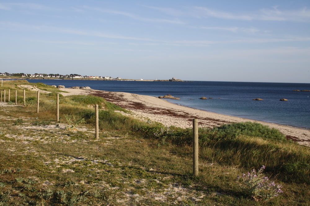
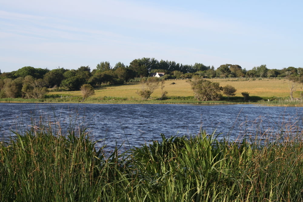
Wir wandern auf dem Sentier Côtier von Le Cabellou zur Pointe de Trévignon. Start ist im Süden der Halbinsel, weiter geht es über Kermingham und Kerambreton nach Kerangall, wo wir (Flut vorausgestzt) die Wasserseite wechseln und nun über Trévic zum Atlantik zurückkehren. Weiter geht es nahezu im Zick-Zack (der Golf von Pouldohan will regelrecht erarbeitet werden) auf dem Sentier Côtier weiter, wir umrunden Pouldohan und Perndruc und dann geht es schon langsam in die Dünen. Grober Sand herrscht hier vor und es beginnt die Welt der Loc´hs. Loc´h Louargar, Loc´h ar Guar, Loc´h Coziou - das ist jetzt eine Welt für sich. Bald erreichen wir das Maison du Littoral, jetzt ist es fast nur noch ein Katzensprung bis zur Pointe de Trévignon mit ihrem kleinen, zauberhaften Hafen.
Tour gallery


Tour map and elevation profile
Minimum height -1 m
Maximum height 14 m
More about the tour author
|
|
Sigi2910 |
Comments

GPS tracks
Trackpoints-
GPX / Garmin Map Source (gpx) download
-
TCX / Garmin Training Center® (tcx) download
-
CRS / Garmin Training Center® (crs) download
-
Google Earth (kml) download
-
G7ToWin (g7t) download
-
TTQV (trk) download
-
Overlay (ovl) download
-
Fugawi (txt) download
-
Kompass (DAV) Track (tk) download
-
Track data sheet (pdf) download
-
Original file of the author (gpx) download
More about the tour author
|
|
Sigi2910 |
Add to my favorites
Remove from my favorites
Edit tags
Open track
My score
Rate