
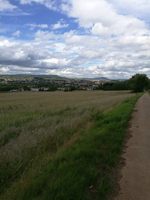

Schöne Tour mit zum Teil asphaltierten Wegen als auch Feldwegen im Wechsel. Los geht es von Tholeyerberg in Marpingen nach Berschweiler und von dort durch den Wald nach Eppelborn. In Eppelborn geht es dann überwiegend über den Asphalt nach Habach von dort zum Nordschacht. Anschließend über den Zollstock nach Lebach und von dort nach Tholey und zurück zum Startpunkt. Strecke lässt sich gut fahren ohne große schwierige Streckenabschnitte.
Tour map and elevation profile
Minimum height 216 m
Maximum height 413 m
More about the tour author
|
|
MICHIA |
Comments

GPS tracks
Trackpoints-
GPX / Garmin Map Source (gpx) download
-
TCX / Garmin Training Center® (tcx) download
-
CRS / Garmin Training Center® (crs) download
-
Google Earth (kml) download
-
G7ToWin (g7t) download
-
TTQV (trk) download
-
Overlay (ovl) download
-
Fugawi (txt) download
-
Kompass (DAV) Track (tk) download
-
Track data sheet (pdf) download
-
Original file of the author (gpx) download
More about the tour author
|
|
MICHIA |
Add to my favorites
Remove from my favorites
Edit tags
Open track
My score
Rate