


Start der Tour ist in Aspang in der Sandgasse.
Entlang des Großen Pestingbach geht es auf der Straße Richtung Mariensee.
Kurz vor Mariensee rechts abbiegen nach St. Peter, danach noch weiter auf der Straße bis zur Abzweigung auf die Forststraße die auf die Kampsteiner Schwaig führt.
Ab der Kampsteiner Schwaig verläuft die Tour auf einem Wanderweg über die Frauenalpe und dem Arabichl zum Dreiländereck.
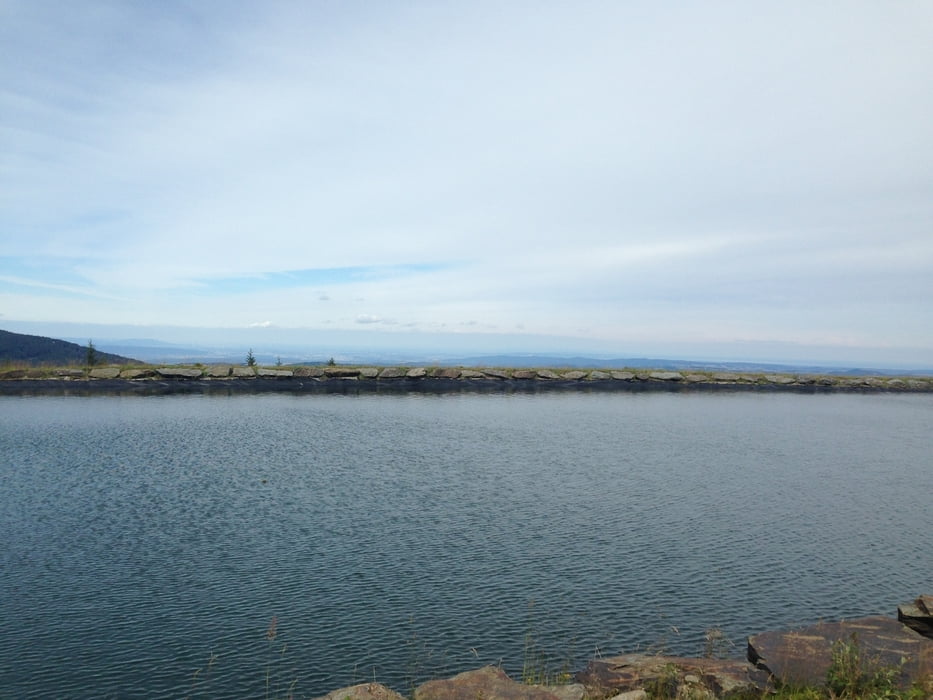
Vom Dreiländereck geht es auf Forststraßen (Panoramaloipe) vorbei an der Marienseer Schwaig zur Stoaalm.
Über die Schipiste zur Möhnichkirchner Schwaig, und auf der Straße nach Möhnichkirchen.
Ab Möhnichkirchen verläuft die Tour am EV9 zurück nach Aspang.
Further information at
http://www.wexltrails.at/Tour gallery


Tour map and elevation profile
Minimum height 478 m
Maximum height 1603 m
More about the tour author
|
|
kersti |
Comments

Parkmöglichkeit unter der B54 Brücke in der Sandgasse.
GPS tracks
Trackpoints-
GPX / Garmin Map Source (gpx) download
-
TCX / Garmin Training Center® (tcx) download
-
CRS / Garmin Training Center® (crs) download
-
Google Earth (kml) download
-
G7ToWin (g7t) download
-
TTQV (trk) download
-
Overlay (ovl) download
-
Fugawi (txt) download
-
Kompass (DAV) Track (tk) download
-
Track data sheet (pdf) download
-
Original file of the author (gpx) download
More about the tour author
|
|
kersti |
Add to my favorites
Remove from my favorites
Edit tags
Open track
My score
Rate