


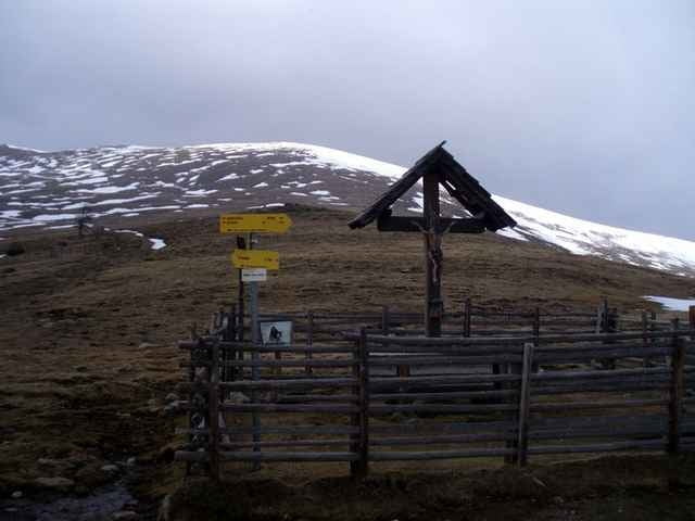
Von Glödnitz über die B95 Gurktaler Straße bis Abzweigung Sirnitz/Albeck, von dort weiter Richtung Bad St. Leonhard. Auf wechselnd Asphalt und Schotter zur Leonhardshöhe zur ehemaligen Heilanstalt. Schotter-Downhill bis zur Turracher Straße. Von dort auf Asphalt über Gnesau bis nach Ebene Reichenau. Dort steil ansteigend (Asphalt) nach Hochrindl. Auf Schotter und teils unbefestigtem Weg zum "Weißen Kreuz" und weiter auf Schotterserpentinen im Downhill nach Flattnitz (bitte nur im Sommer fahren!). Von Flattnitz auf der L63 Flattnitzer Landesstraße zurück nach Glödnitz.
Further information at
http://untenundoben.blogspot.com/2008/04/gurktal-west.htmlTour gallery
Tour map and elevation profile
Minimum height 732 m
Maximum height 1824 m
More about the tour author
|
|
gurktaler |
Comments

Glödnitz im oberen Gurktal, von der B93 Gurktaler Straße auf die L63 Flattnitzer Landesstraße ca. 2 km.
GPS tracks
Trackpoints-
GPX / Garmin Map Source (gpx) download
-
TCX / Garmin Training Center® (tcx) download
-
CRS / Garmin Training Center® (crs) download
-
Google Earth (kml) download
-
G7ToWin (g7t) download
-
TTQV (trk) download
-
Overlay (ovl) download
-
Fugawi (txt) download
-
Kompass (DAV) Track (tk) download
-
Track data sheet (pdf) download
-
Original file of the author (gpx) download
More about the tour author
|
|
gurktaler |
Add to my favorites
Remove from my favorites
Edit tags
Open track
My score
Rate