


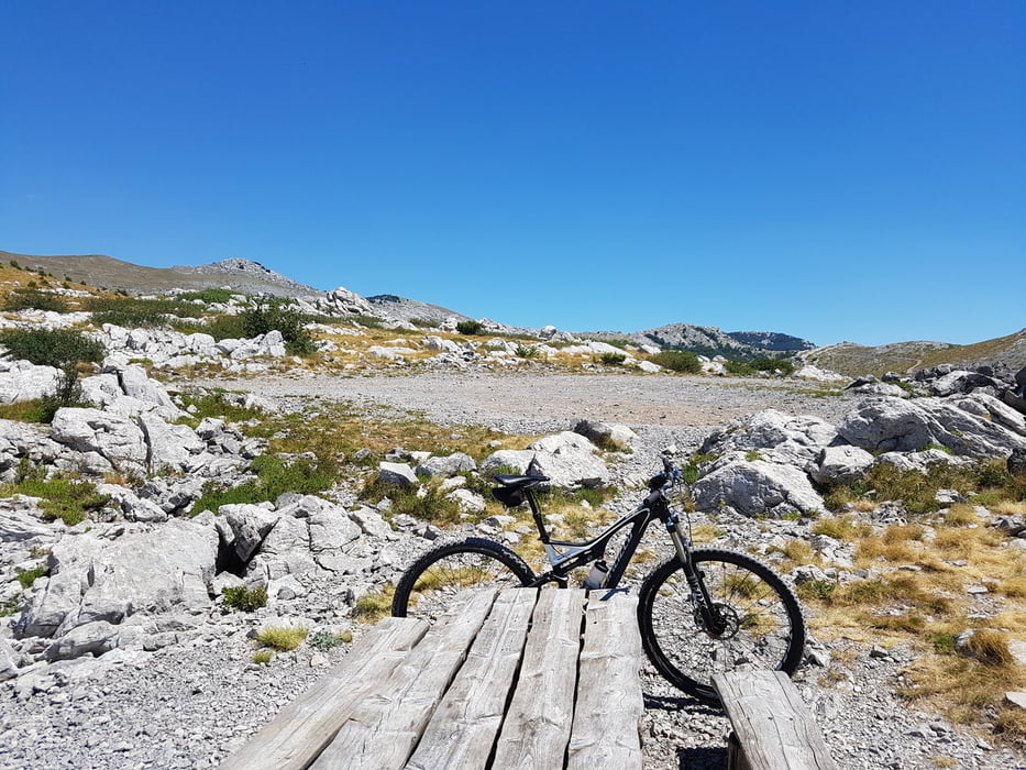
relativ lange Tour auf viel losem Geröll. Speziell die Abfahrt war herausfordernd auf diesem Untergrund.
Tolle Aussicht und abwechslungsreiche Landschaft!
Further information at
http://www.zadarbikemagic.com/en/trail/mtb-2-velebit-1/Tour gallery
Tour map and elevation profile
Minimum height 448 m
Maximum height 1388 m
More about the tour author

|
franzkrug |
Comments
GPS tracks
Trackpoints-
GPX / Garmin Map Source (gpx) download
-
TCX / Garmin Training Center® (tcx) download
-
CRS / Garmin Training Center® (crs) download
-
Google Earth (kml) download
-
G7ToWin (g7t) download
-
TTQV (trk) download
-
Overlay (ovl) download
-
Fugawi (txt) download
-
Kompass (DAV) Track (tk) download
-
Track data sheet (pdf) download
-
Original file of the author (gpx) download
More about the tour author
|
|
franzkrug |
Add to my favorites
Remove from my favorites
Edit tags
Open track
My score
Rate
Nicht empfehlenswert.
Bergauf kein Problem.
Ab der ersten Anhöhe auf 900 m Höhe wäre es besser gewesen wenn ich umgedreht hätte.
Denn anschließend ist es zu steil um auf dem lockeren Steinen zu fahren
Bergab teilweise nicht zu fahren - viele lockere Steine und zu gefährlich.
Beim Absteigen immer die Gefahr mit dem Fuß auf den losen Steinen umzukippen.
Bei der zweiten Autobahnunterführung ist eine kurze Strecke Asphalt.
Bei der Weiterfahrt versperren 2 Steinmauern mit 2 Meter Höhe den Weg.
Sieht man auf GoogleEarth sehr genau.
Meiner Meinung nach wollen sie dort nicht daß man diese Runde fährt.
Es gibt bessere Strecken einige Kilometer östlich davon.