


Großbreitenbach Sporthalle "Am Vitzberg" - F0 nach Gillersdorf - Modellflugplatz Großbreitenbach - Mühlberg - Böhlener Mühle - Böhlener Tal - Schwarzmühle - Satteldelle - Floßteich - Amselbachtal - Hauptmannsborn - Biathlonzentrum - Großbreitenbach Sporthalle "Am Vitzberg"
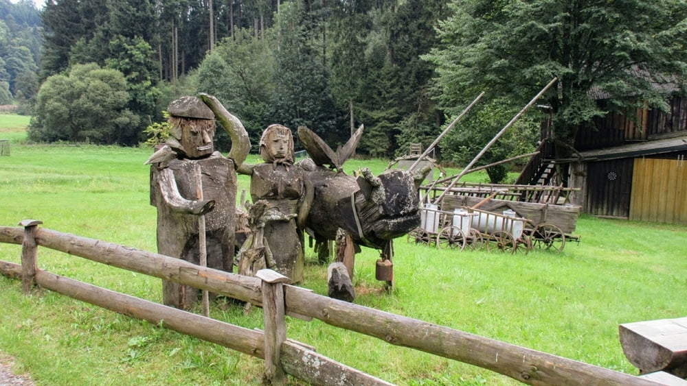
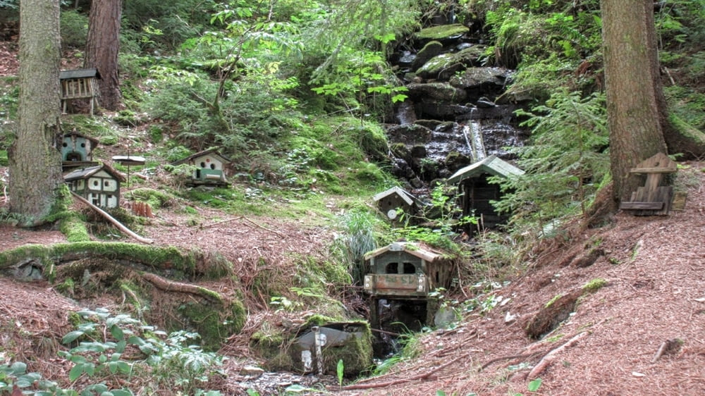
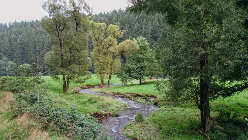
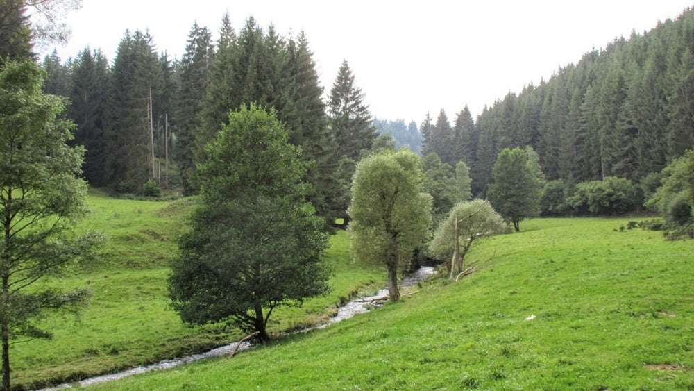
Tour gallery
Tour map and elevation profile
Minimum height 394 m
Maximum height 689 m
More about the tour author
|
|
Steffen34IK |
Comments

Autobahn A 71 Abfahrt Ilmenau, Gehren, Großbreitenbach
In Großbreitenbach an der Hauptkreuzung leicht rechts Richtung Neuhaus fahren
danach 3. Kreuzung links einfahren -> Schilder "Turnhalle am Vitzberg" folgen
In Großbreitenbach an der Hauptkreuzung leicht rechts Richtung Neuhaus fahren
danach 3. Kreuzung links einfahren -> Schilder "Turnhalle am Vitzberg" folgen
GPS tracks
Trackpoints-
GPX / Garmin Map Source (gpx) download
-
TCX / Garmin Training Center® (tcx) download
-
CRS / Garmin Training Center® (crs) download
-
Google Earth (kml) download
-
G7ToWin (g7t) download
-
TTQV (trk) download
-
Overlay (ovl) download
-
Fugawi (txt) download
-
Kompass (DAV) Track (tk) download
-
Track data sheet (pdf) download
-
Original file of the author (gpx) download
More about the tour author
|
|
Steffen34IK |
Add to my favorites
Remove from my favorites
Edit tags
Open track
My score
Rate