


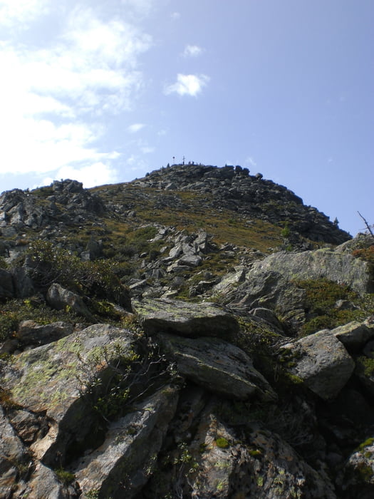
Start war bei unserer Unterkunft in Neugasteig. Vorbei an der Auffang- und der Brandstattalm geht es direkt zur Seblasspitze. Der Weg ist bis zur Spitze gut gangbar. Lediglich auf den letzten Metern muss man leicht kraxeln. Von der Spitze geht es zurück zum Höhenring und vorbei am Hühnerspiel zur Milderaunalm, wo sich auf jeden Fall eine Einkehr lohnt.
Tour gallery


Tour map and elevation profile
Minimum height 976 m
Maximum height 2327 m
More about the tour author

|
klixx |
Comments

Gestartet werden kann auch in Krössbach oder - wenn man sich etwas Weg sparen möchte - auf dem kostenpflichtigen Parkplatz am Ende der Rodelbahn in Oberegg.
GPS tracks
Trackpoints-
GPX / Garmin Map Source (gpx) download
-
TCX / Garmin Training Center® (tcx) download
-
CRS / Garmin Training Center® (crs) download
-
Google Earth (kml) download
-
G7ToWin (g7t) download
-
TTQV (trk) download
-
Overlay (ovl) download
-
Fugawi (txt) download
-
Kompass (DAV) Track (tk) download
-
Track data sheet (pdf) download
-
Original file of the author (gpx) download
More about the tour author
|
|
klixx |
Add to my favorites
Remove from my favorites
Edit tags
Open track
My score
Rate