


ACHTUNG !
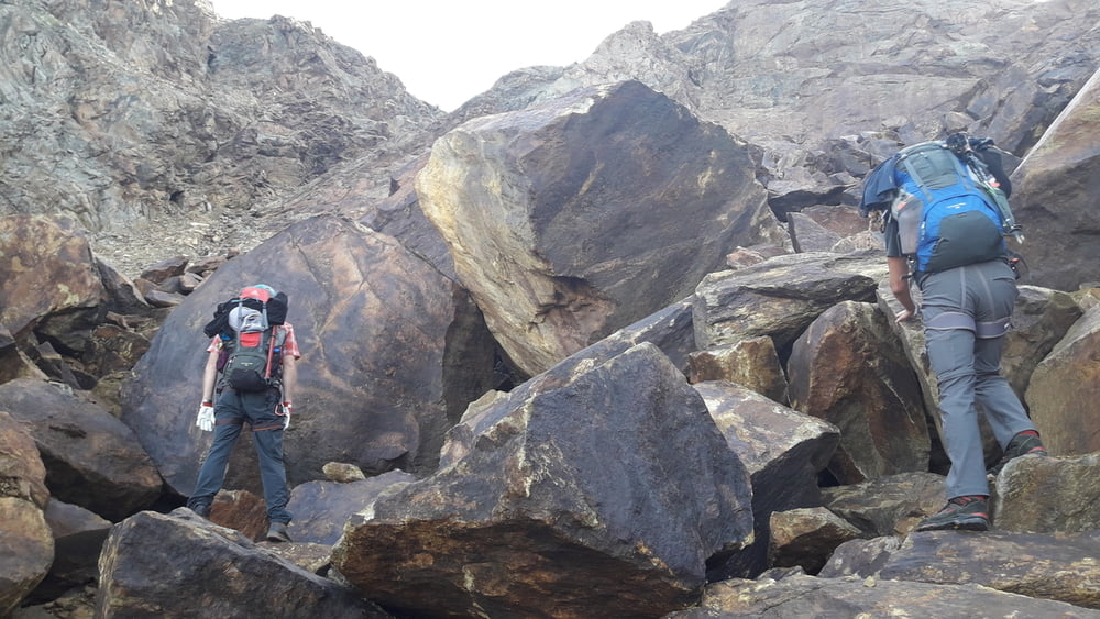
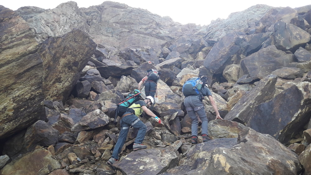
Es ist 4-Tage Tour und NUR für geübte mit Bergführer! Es ist NICHT oder serh schlecht markiert und NICHT gesiechert!
1 Tag - Aufstieg zur Sigerlandhütte (leicht)
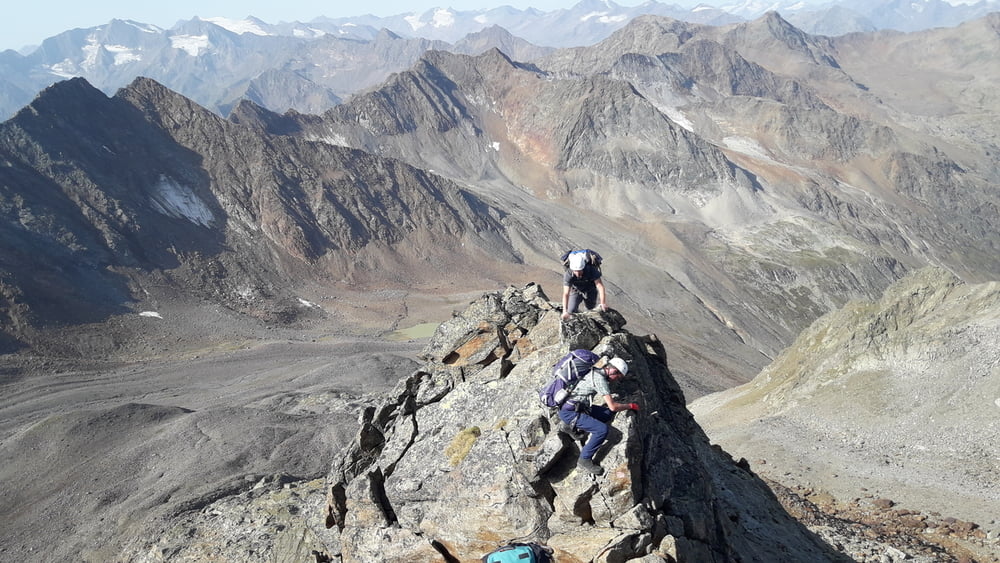
2 Tag - Siegerlandhütte - Hohes Eis 3392hm - Sonklarspitze 3467hm - Becherhaus (NUR mit Bergführer!)
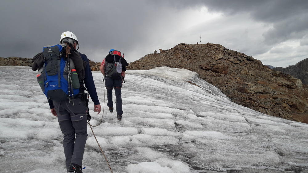
3 Tag - Becherhaus - Windachscharte - Siegerlandhuette (NUR mit Bergführer!)
4 Tag - Siegerlandhuette - Windachalm - Sölden
Am 3 Tag wurde geplant von Becherhaus auf Wilder Pfaff zu steigen, dann auf Zuckerhütl und in Hildesheimerhütte Übernachten. Wegen instabiles Wetter und schlechte Markierung Plan wurde geändert.
Further information at
https://www.gpsies.com/map.do?fileId=jjdbynwypbbmgvswTour gallery
Tour map and elevation profile
Minimum height 2721 m
Maximum height 3452 m
More about the tour author
|
|
copyright |
Comments

https://goo.gl/maps/v6MdvQqjUDE2 In Parkhaus parken.
GPS tracks
Trackpoints-
GPX / Garmin Map Source (gpx) download
-
TCX / Garmin Training Center® (tcx) download
-
CRS / Garmin Training Center® (crs) download
-
Google Earth (kml) download
-
G7ToWin (g7t) download
-
TTQV (trk) download
-
Overlay (ovl) download
-
Fugawi (txt) download
-
Kompass (DAV) Track (tk) download
-
Track data sheet (pdf) download
-
Original file of the author (gpx) download
More about the tour author
|
|
copyright |
Add to my favorites
Remove from my favorites
Edit tags
Open track
My score
Rate