
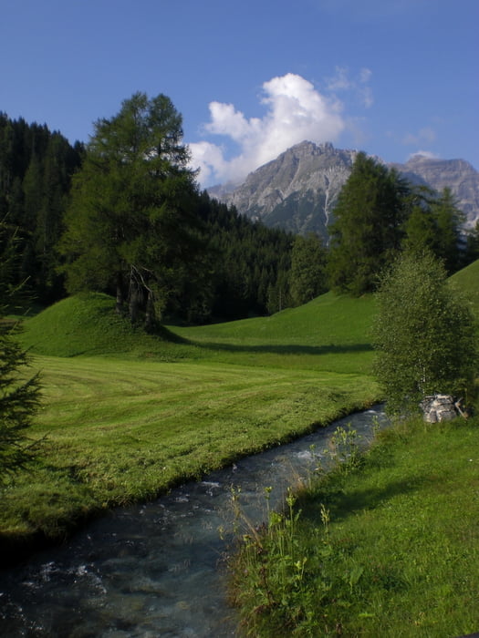

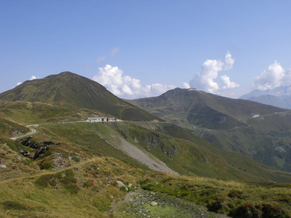
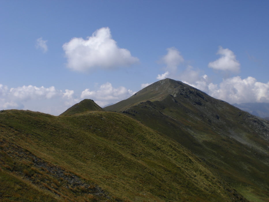
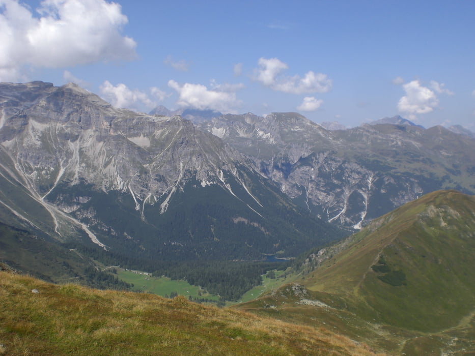
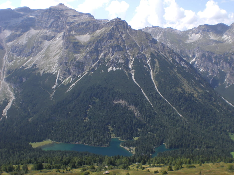
Einsame Tour durch das Fradetal. Start ist an der Schule in Obernberg. Danach geht es immer auf einem Forstweg am Fraderbach entlang bis zum Frader Alm Hochleger. Von dort per Steig auf den Tiroler Höhenweg, von dem man einen tollen Blick auf den Brenner Grenzkamm hat. Auf dem Grat entlang geht es zum Hohen Lorenzen. Per Steig steigt man zum Sattele hinab und über den Koatnerberg und die Allerleigrubenspitze folgt man dem Seeweg inkl. toller Sicht auf den Obernberger See. Über einen Forstweg geht es später zum Ausgangspunkt zurück.
Tour gallery
Tour map and elevation profile
Minimum height 1370 m
Maximum height 2312 m
More about the tour author

|
klixx |
Comments

An der Schule in Obernberg kann kostenlos geparkt werden.
GPS tracks
Trackpoints-
GPX / Garmin Map Source (gpx) download
-
TCX / Garmin Training Center® (tcx) download
-
CRS / Garmin Training Center® (crs) download
-
Google Earth (kml) download
-
G7ToWin (g7t) download
-
TTQV (trk) download
-
Overlay (ovl) download
-
Fugawi (txt) download
-
Kompass (DAV) Track (tk) download
-
Track data sheet (pdf) download
-
Original file of the author (gpx) download
More about the tour author
|
|
klixx |
Add to my favorites
Remove from my favorites
Edit tags
Open track
My score
Rate