Login

Forgotten password?

Cookies have to be accepted!
Your browser's cookie functionality is disabled. Please enable this functionality.

Not a member yet?

Register now
Login

Available for registred users only

Log in to use this feature.

Forgotten password?

Cookies have to be accepted!
Your browser's cookie functionality is disabled. Please enable this functionality.

Not a member yet?

Register now
Filter
Categories
Advanced filters
  • Distance (km)
  • Height
Save filters Reset filter

TrackRank

QRCode

Technical data

Distance24,3 km Height1507 m Way down1520 m Duration06:00 h:m Date31.08.2017
Scores Author Landscape Fun factor Fitness Technique

Statistics

651 Views Scores 40 Downloads Average
Rate
  • Track data sheet
  • Directions
  • Downloads

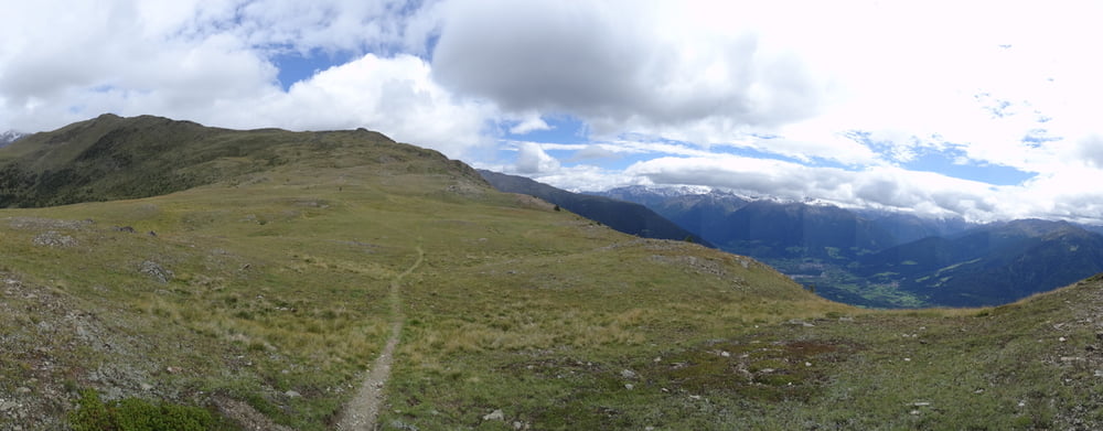
Wandertour von Mals über Spitzige Lun zum Hochjoch

hoch von Rückseite zur Spitzigen Lun 2350m und weiter zum Hochjoch 2520m. Einfache Wanderung.

Strecke hoch ist als MTB Tour ausdrücklich nicht erlaubt - lt. Tourenportal GPS-Tour. Bitte beachten.
Wahrscheinlich der Waalweg.
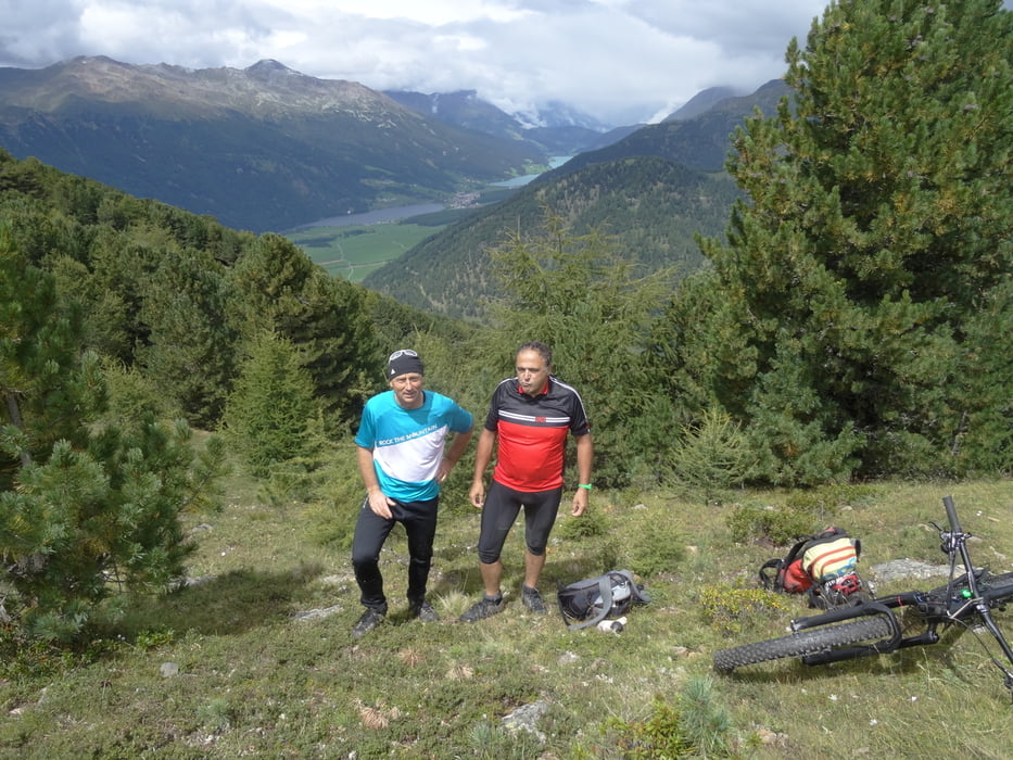
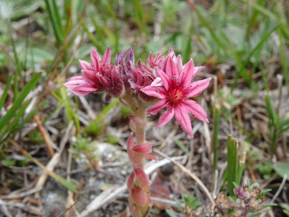
Tour gallery

Tour map and elevation profile

  • Open Street Map
  • Google
Minimum height 1058 m Maximum height 2594 m Detailed view

More about the tour author

skyhopper
Member since 2005

Send private message

Comments

GPS tracks

Trackpoints
  • GPX / Garmin Map Source (gpx) download
  • TCX / Garmin Training Center® (tcx) download
  • CRS / Garmin Training Center® (crs) download
  • Google Earth (kml) download
  • G7ToWin (g7t) download
  • TTQV (trk) download
  • Overlay (ovl) download
  • Fugawi (txt) download
  • Kompass (DAV) Track (tk) download
  • Track data sheet (pdf) download
  • Original file of the author (gpx) download

More about the tour author

skyhopper
Member since 2005

Send private message
Share track
Add to my favorites
Remove from my favorites
Edit tags
My score
Rate
Track: Mals - Spitzige Lun (Piz Lun) Hochjoch Gipfelwanderung
Type: Hiking
Distance: 24,3 km
Evaluated on:
Duration:
Day(s)
Hour(s)
Minute(s)
Score: Landscape Fun factor Fitness Technique