


Gipfeltour von Morbeno auf den Cima Mt. Rosetta
über Refugio Bar Bianco weitgehend fahrbar zum Cima Mt. Rosetta. Die Abfahrt diretissima ist sicher S3 und recht verfahren vom Mottocross. Man kann auch auf der Auffahrt zur Restabfahrt kommen, habe die Verbindung im Track dringelassen. Mit ebike weitgehend fahrbar, gegen Ende ruppiger steiniger Fahrweg bis nach dem Lago die Colino. Analog (ohne ebike) recht anstrengend und steil ab Bar Bianco. Die Abfahrt ist nach dem Mt. Olano ist neu, habe ich bei einer anderen Tour ausprobiert. Schwierigkeit S2 - S3. Die Wege ins Tal sind ruppig und sichtlich Mottocross zerschlissen/steinig. Wege sind nun ab Mt. Olano alle neu markiert.
Man kann bis Bar Refugio Bianco mit Auto fahren, die letzten 3Kehren sind Kiesweg (evtl. Maut ab Rasura). Als Wanderung ist die Tour hier. Eine andere Abfahrt ist hier enthalten.
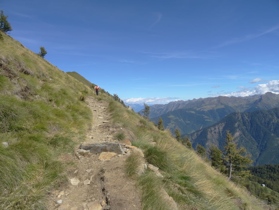
Tour gallery


Tour map and elevation profile
Minimum height 232 m
Maximum height 2196 m
More about the tour author
|
|
skyhopper |
Comments

parken in Morbeno
GPS tracks
Trackpoints-
GPX / Garmin Map Source (gpx) download
-
TCX / Garmin Training Center® (tcx) download
-
CRS / Garmin Training Center® (crs) download
-
Google Earth (kml) download
-
G7ToWin (g7t) download
-
TTQV (trk) download
-
Overlay (ovl) download
-
Fugawi (txt) download
-
Kompass (DAV) Track (tk) download
-
Track data sheet (pdf) download
-
Original file of the author (gpx) download
More about the tour author
|
|
skyhopper |
Add to my favorites
Remove from my favorites
Edit tags
Open track
My score
Rate