Login

Forgot your login?

Cookies have to be accepted!
Your browser's cookie functionality is disabled. Please enable this functionality.

Not a member yet?

Register now
Login

Available for registred users only

Log in to use this feature.

Forgot your login?

Cookies have to be accepted!
Your browser's cookie functionality is disabled. Please enable this functionality.

Not a member yet?

Register now
Filter
Categories
Advanced filters
  • Distance (km)
  • Height
Save filters Reset filter

TrackRank

QRCode

Technical data

Distance53,6 km Height817 m Way down819 m Duration04:00 h:m Date24.05.2008
Scores Author User Landscape Fun factor Fitness Technique

Statistics

1420 Views 1 Score 429 Downloads 4.00 Average
Rate
  • Track data sheet
  • Directions
  • Downloads
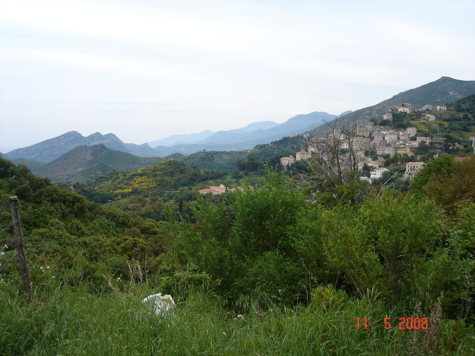
San Damiano - Etang di Biguglia - Casatorra - Defile de Lancone (schöne Schlucht auf wenig befahrener, schmaler Strasse, D62) - Olmeta die Tuda - Oletta (durchs Dorf) - Col de Teghime - Bastia -San Damiano

Tour gallery

Tour map and elevation profile

  • Open Street Map
  • Google
Minimum height -7 m Maximum height 559 m Detailed view

More about the tour author

JV
Member since 2006

Send private message

Comments

Start ist der Campingplatz San Damiano am Etang de Biguglia

GPS tracks

Trackpoints
  • GPX / Garmin Map Source (gpx) download
  • TCX / Garmin Training Center® (tcx) download
  • CRS / Garmin Training Center® (crs) download
  • Google Earth (kml) download
  • G7ToWin (g7t) download
  • TTQV (trk) download
  • Overlay (ovl) download
  • Fugawi (txt) download
  • Kompass (DAV) Track (tk) download
  • Track data sheet (pdf) download
  • Original file of the author (gpx) download

More about the tour author

JV
Member since 2006

Send private message
Share track
Add to my favorites
Remove from my favorites
Edit tags
My score
Rate
Track: Defile de Lancone - Col de Teghime
Type: Mountain bike
Distance: 53,6 km
Evaluated on:
Duration:
Day(s)
Hour(s)
Minute(s)
Score: Landscape Fun factor Fitness Technique