Login

Forgot your login?

Cookies have to be accepted!
Your browser's cookie functionality is disabled. Please enable this functionality.

Not a member yet?

Register now
Login

Available for registred users only

Log in to use this feature.

Forgot your login?

Cookies have to be accepted!
Your browser's cookie functionality is disabled. Please enable this functionality.

Not a member yet?

Register now
Filter
Categories
Advanced filters
  • Distance (km)
  • Height
Save filters Reset filter

TrackRank

QRCode

Technical data

Distance35,0 km Height863 m Way down864 m Duration04:40 h:m Date08.10.2017
Scores Author Landscape Fun factor Fitness Technique

Statistics

497 Views Scores 196 Downloads Average
Rate
  • Track data sheet
  • Directions
  • Downloads

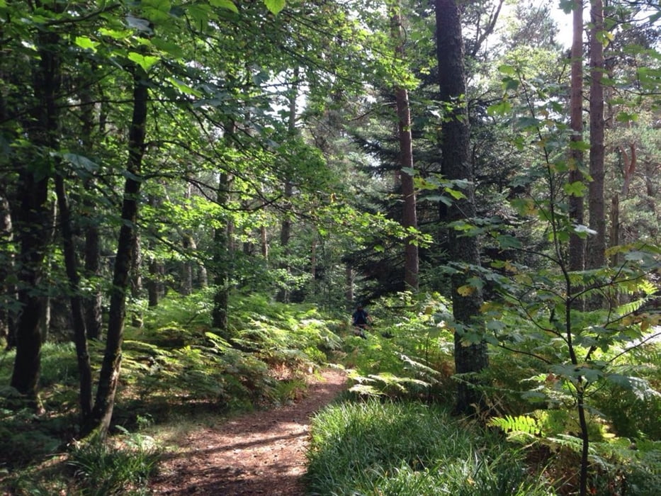
Der Trailanteil dieser Tour ist sehr hoch und zumeist schön flowig.

Nur einzelne Abschnitte sind etwas ruppiger.


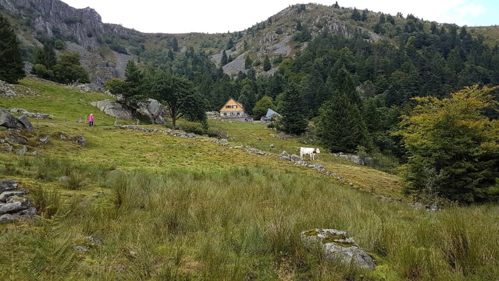
Der Wegabschnitt von Labaroche bis zur Auberge Mussmiss ist so hübsch, das er uns für die Rücktour, mit kleinen Abwandlungen, auch sehr gut gefallen hat.


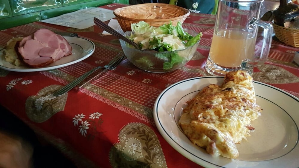
Einkehrmöglichkeiten gibt es unterwegs reichlich.

Man sollte nicht verpassen, den leckeren lokalen Apfelsaft zu probieren.

Tour gallery

Tour map and elevation profile

  • Open Street Map
  • Google
Minimum height 741 m Maximum height 1135 m Detailed view

More about the tour author

Flitz
Member since 2009

Send private message

Comments

ab Labaroche

GPS tracks

Trackpoints
  • GPX / Garmin Map Source (gpx) download
  • TCX / Garmin Training Center® (tcx) download
  • CRS / Garmin Training Center® (crs) download
  • Google Earth (kml) download
  • G7ToWin (g7t) download
  • TTQV (trk) download
  • Overlay (ovl) download
  • Fugawi (txt) download
  • Kompass (DAV) Track (tk) download
  • Track data sheet (pdf) download
  • Original file of the author (gpx) download

More about the tour author

Flitz
Member since 2009

Send private message
Share track
Add to my favorites
Remove from my favorites
Edit tags
My score
Rate
Track: Vogesen: Von Labaroche zum Lac Noir
Type: Mountain bike
Distance: 35,0 km
Evaluated on:
Duration:
Day(s)
Hour(s)
Minute(s)
Score: Landscape Fun factor Fitness Technique