Login

Forgot your login?

Cookies have to be accepted!
Your browser's cookie functionality is disabled. Please enable this functionality.

Not a member yet?

Register now
Login

Available for registred users only

Log in to use this feature.

Forgot your login?

Cookies have to be accepted!
Your browser's cookie functionality is disabled. Please enable this functionality.

Not a member yet?

Register now
Filter
Categories
Advanced filters
  • Distance (km)
  • Height
Save filters Reset filter

TrackRank

QRCode

Technical data

Distance34,4 km Height1358 m Way down1348 m Duration00:00 h:m Date28.10.2017
Scores Author Landscape Fun factor Fitness Technique

Statistics

369 Views Scores 95 Downloads Average
Rate
  • Track data sheet
  • Directions
  • Downloads

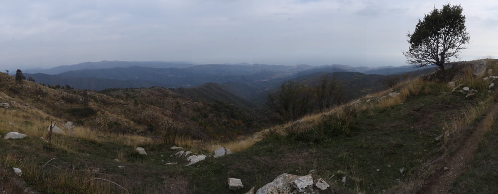
Endurotour um/am Mt. Faudo von Imperia-Dolcedo aus.

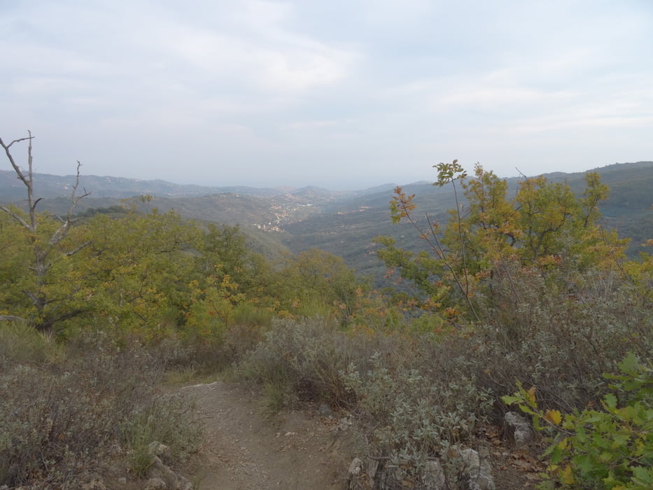
Hoch auf Fahrweg zum Passo Vena, von dort ca. 50hm schieben zur Abfahrt nach Vollario/Dolcedo. Anfangs S2-S3 leichter werdend, kurzes Schiebstück bergab im Wald.

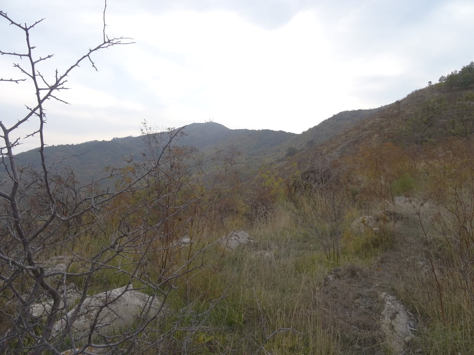
Wer gern etwas mehr Enduro will kann den Mt. Faudo umrunden, bin aus Zeitgründen nicht hochgefahren. Nur für geübte empfehlenswert.

Tour gallery

Tour map and elevation profile

  • Open Street Map
  • Google
Minimum height 80 m Maximum height 1035 m Detailed view

More about the tour author

skyhopper
Member since 2005

Send private message

Comments

parken in Dolcedo

GPS tracks

Trackpoints
  • GPX / Garmin Map Source (gpx) download
  • TCX / Garmin Training Center® (tcx) download
  • CRS / Garmin Training Center® (crs) download
  • Google Earth (kml) download
  • G7ToWin (g7t) download
  • TTQV (trk) download
  • Overlay (ovl) download
  • Fugawi (txt) download
  • Kompass (DAV) Track (tk) download
  • Track data sheet (pdf) download
  • Original file of the author (gpx) download

More about the tour author

skyhopper
Member since 2005

Send private message
Share track
Add to my favorites
Remove from my favorites
Edit tags
My score
Rate
Track: Imperia - Passo di Vena - Vollario optional um Mt. Faudo - Enduro
Type: Mountain bike
Distance: 34,4 km
Evaluated on:
Duration:
Day(s)
Hour(s)
Minute(s)
Score: Landscape Fun factor Fitness Technique