Login

Forgot your login?

Cookies have to be accepted!
Your browser's cookie functionality is disabled. Please enable this functionality.

Not a member yet?

Register now
Login

Available for registred users only

Log in to use this feature.

Forgot your login?

Cookies have to be accepted!
Your browser's cookie functionality is disabled. Please enable this functionality.

Not a member yet?

Register now
Filter
Categories
Advanced filters
  • Distance (km)
  • Height
Save filters Reset filter

TrackRank

QRCode

Technical data

Distance19,7 km Height606 m Way down606 m Duration01:30 h:m Date25.05.2008
Scores Author Landscape Fun factor Fitness Technique

Statistics

1260 Views 2 Scores 334 Downloads 2.50 Average
Rate
  • Track data sheet
  • Directions
  • Downloads
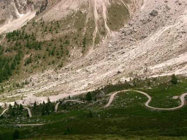
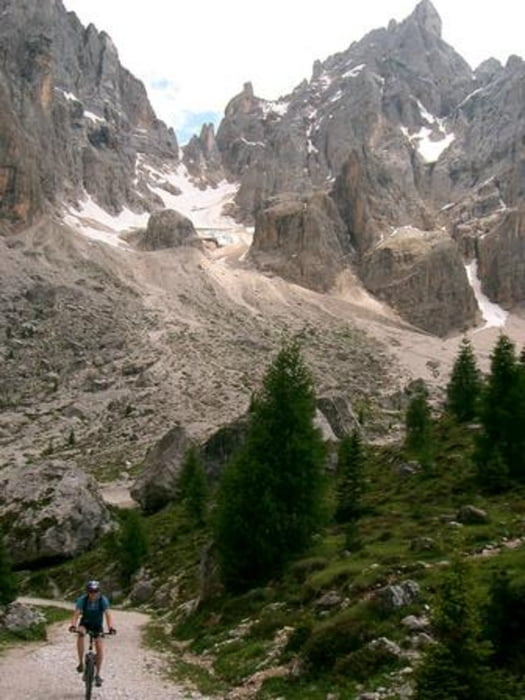
Kleine Panoramrunde im Angesicht der schönsten Dolomiten Berge! Auf durchwegs guten Forststraßen und der Passo Rolle Paßstraße! Einkehr direkt unter dem Pale im Baita Segantini!

Further information at

http://www.hegibiketours.de

Tour gallery

Tour map and elevation profile

  • Open Street Map
  • Google
Minimum height 1571 m Maximum height 2180 m Detailed view

More about the tour author

hegi
Member since 2007

Send private message

Comments

Start Nähe Lago Paneveggio!!!

GPS tracks

Trackpoints
  • GPX / Garmin Map Source (gpx) download
  • TCX / Garmin Training Center® (tcx) download
  • CRS / Garmin Training Center® (crs) download
  • Google Earth (kml) download
  • G7ToWin (g7t) download
  • TTQV (trk) download
  • Overlay (ovl) download
  • Fugawi (txt) download
  • Kompass (DAV) Track (tk) download
  • Track data sheet (pdf) download
  • Original file of the author (gpx) download

More about the tour author

hegi
Member since 2007

Send private message
Share track
Add to my favorites
Remove from my favorites
Edit tags
My score
Rate
Track: Pale di San Martino
Type: Mountain bike
Distance: 19,7 km
Evaluated on:
Duration:
Day(s)
Hour(s)
Minute(s)
Score: Landscape Fun factor Fitness Technique