Login

Forgot your login?

Cookies have to be accepted!
Your browser's cookie functionality is disabled. Please enable this functionality.

Not a member yet?

Register now
Login

Available for registred users only

Log in to use this feature.

Forgot your login?

Cookies have to be accepted!
Your browser's cookie functionality is disabled. Please enable this functionality.

Not a member yet?

Register now
Filter
Categories
Advanced filters
  • Distance (km)
  • Height
Save filters Reset filter

TrackRank

QRCode

Technical data

Distance68,4 km Height2376 m Way down3735 m Duration00:00 h:m Date02.11.2017
Scores Author Landscape Fun factor Fitness Technique

Statistics

182 Views Scores 64 Downloads Average
Rate
  • Track data sheet
  • Directions
  • Downloads

...diese lange Etappe mit Genuß und vollständig ohne Hilfsmittel gefahren....

ein absolutes Highlight!


ACHTUNG! DER TRACK WURDE SEHR GROB EINDIGITALISIERT!!!

Unbedingt eine Feinplanung vornehmen!
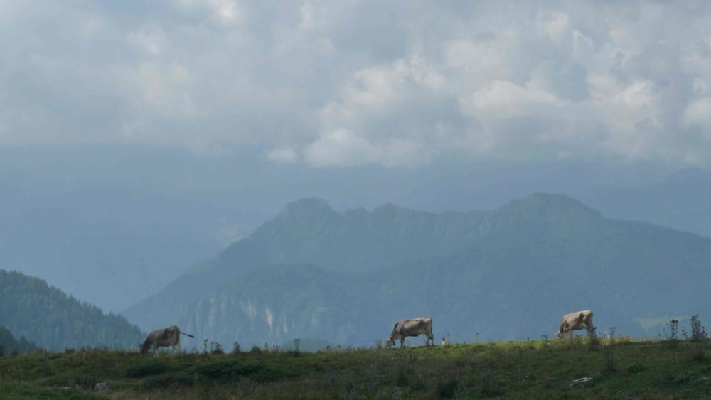
Tour gallery

Tour map and elevation profile

  • Open Street Map
  • Google
Minimum height 62 m Maximum height 1823 m Detailed view

More about the tour author

Flitz
Member since 2009

Send private message

Comments

GPS tracks

Trackpoints
  • GPX / Garmin Map Source (gpx) download
  • TCX / Garmin Training Center® (tcx) download
  • CRS / Garmin Training Center® (crs) download
  • Google Earth (kml) download
  • G7ToWin (g7t) download
  • TTQV (trk) download
  • Overlay (ovl) download
  • Fugawi (txt) download
  • Kompass (DAV) Track (tk) download
  • Track data sheet (pdf) download
  • Original file of the author (gpx) download

More about the tour author

Flitz
Member since 2009

Send private message
Share track
Add to my favorites
Remove from my favorites
Edit tags
My score
Rate
Track: Alpen: 5 1/2 Seencross: Etappe 06/06 Rifugio Rosa di Baremone - RIva del Garda
Type: Mountain bike
Distance: 68,4 km
Evaluated on:
Duration:
Day(s)
Hour(s)
Minute(s)
Score: Landscape Fun factor Fitness Technique