


Die Tour richtet sich nach dem hier beschriebenen Weg http://freizeit.mallorcazeitung.es/planes/wandern/pla-1207-bei-puigpunyent-auf-dem-alten-weg-zur-apotheke.html
Den Weg kann ich nicht besser beschreiben als hier angegeben.
Die Tour ist abseits von den viel gegangenen Routen und daher wird man keinen bis wenigen anderen Wanderern begegnen.
Zur Einkehr lohnt sich ein Besuch in Puigpunyent.
Abweichungen:
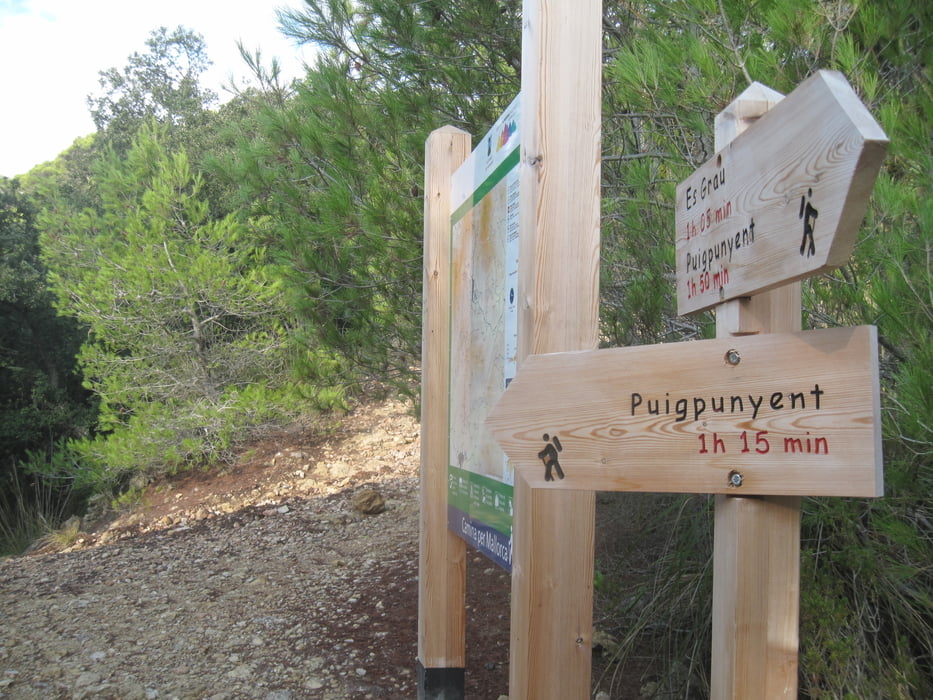
Tourstart ist hier Coll de Grau
Der Rundweg ist hier gegen den Uhrzeigersinn
Abstecher um Coll de Estellencs
Further information at
http://freizeit.mallorcazeitung.es/planes/wandern/pla-1207-bei-puigpunyent-auf-dem-alten-weg-zur-apotheke.htmlTour gallery


Tour map and elevation profile
Minimum height 247 m
Maximum height 665 m
More about the tour author
|
|
JoachimDief |
Comments

Schmale und kurvige Verbindungsstraße MA-1101 nehmen zwischen Esporles und Puigpunyent. Am Coll de Grau Parken auf der Straßenseite.
GPS tracks
Trackpoints-
GPX / Garmin Map Source (gpx) download
-
TCX / Garmin Training Center® (tcx) download
-
CRS / Garmin Training Center® (crs) download
-
Google Earth (kml) download
-
G7ToWin (g7t) download
-
TTQV (trk) download
-
Overlay (ovl) download
-
Fugawi (txt) download
-
Kompass (DAV) Track (tk) download
-
Track data sheet (pdf) download
-
Original file of the author (gpx) download
More about the tour author
|
|
JoachimDief |
Add to my favorites
Remove from my favorites
Edit tags
Open track
My score
Rate