


Anfahrt über Wasserfall und Schotterstraße.
Vielleicht sollte man den Trail auch auf dem Bearclaw hochfahren...
Runter geht es über viele Möglichkeiten immer easiest oder difficult, je nach Geschmack.
Ist man unten, will man gleich wieder hoch.
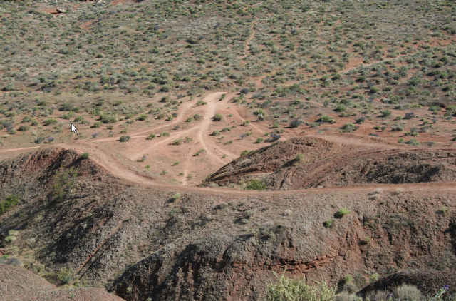
Typ: Lehmpiste, fest wie Beton, viele Kurven, Anlieger, Sprünge, für Anfänger und Fortgeschrittene gleichfalls geeignet.
Vielleicht sollte man den Trail auch auf dem Bearclaw hochfahren...
Runter geht es über viele Möglichkeiten immer easiest oder difficult, je nach Geschmack.
Ist man unten, will man gleich wieder hoch.
Typ: Lehmpiste, fest wie Beton, viele Kurven, Anlieger, Sprünge, für Anfänger und Fortgeschrittene gleichfalls geeignet.
Tour gallery
Tour map and elevation profile
Minimum height 779 m
Maximum height 911 m
More about the tour author
|
|
RandB |
Comments
GPS tracks
Trackpoints-
GPX / Garmin Map Source (gpx) download
-
TCX / Garmin Training Center® (tcx) download
-
CRS / Garmin Training Center® (crs) download
-
Google Earth (kml) download
-
G7ToWin (g7t) download
-
TTQV (trk) download
-
Overlay (ovl) download
-
Fugawi (txt) download
-
Kompass (DAV) Track (tk) download
-
Track data sheet (pdf) download
-
Original file of the author (gpx) download
More about the tour author
|
|
RandB |
Add to my favorites
Remove from my favorites
Edit tags
Open track
My score
Rate
Bearclow