
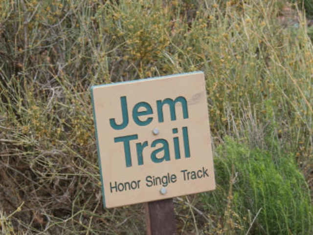

JEM Trail
Hurricane Rim Trail
Gold Bar Rim
viel Flow, Goldbar Rim mit Rollercoaster - Feeling.
Hurricane Rim Trail
Gold Bar Rim
viel Flow, Goldbar Rim mit Rollercoaster - Feeling.
Tour gallery

Tour map and elevation profile
Minimum height 1031 m
Maximum height 1308 m
More about the tour author
|
|
RandB |
Comments

Am Besten fährt man in Hurricane E Hwy 59 hoch, bis man den Trailhead sieht.
Eine Alternative gibt es auch über den HW9, aber viel umständlicher (falls gewünscht, gerne per PM Anfahrts-GPX)
Eine Alternative gibt es auch über den HW9, aber viel umständlicher (falls gewünscht, gerne per PM Anfahrts-GPX)
GPS tracks
Trackpoints-
GPX / Garmin Map Source (gpx) download
-
TCX / Garmin Training Center® (tcx) download
-
CRS / Garmin Training Center® (crs) download
-
Google Earth (kml) download
-
G7ToWin (g7t) download
-
TTQV (trk) download
-
Overlay (ovl) download
-
Fugawi (txt) download
-
Kompass (DAV) Track (tk) download
-
Track data sheet (pdf) download
-
Original file of the author (gpx) download
More about the tour author
|
|
RandB |
Add to my favorites
Remove from my favorites
Edit tags
Open track
My score
Rate