Login

Forgot your login?

Cookies have to be accepted!
Your browser's cookie functionality is disabled. Please enable this functionality.

Not a member yet?

Register now
Login

Available for registred users only

Log in to use this feature.

Forgot your login?

Cookies have to be accepted!
Your browser's cookie functionality is disabled. Please enable this functionality.

Not a member yet?

Register now
Filter
Categories
Advanced filters
  • Distance (km)
  • Height
Save filters Reset filter

TrackRank

QRCode

Technical data

Distance12,0 km Height1937 m Way down154 m Duration00:00 h:m Date01.12.2017
Scores Author Landscape Fun factor Fitness Technique

Statistics

757 Views Scores 78 Downloads Average
Rate
  • Track data sheet
  • Directions
  • Downloads
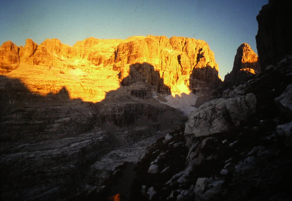
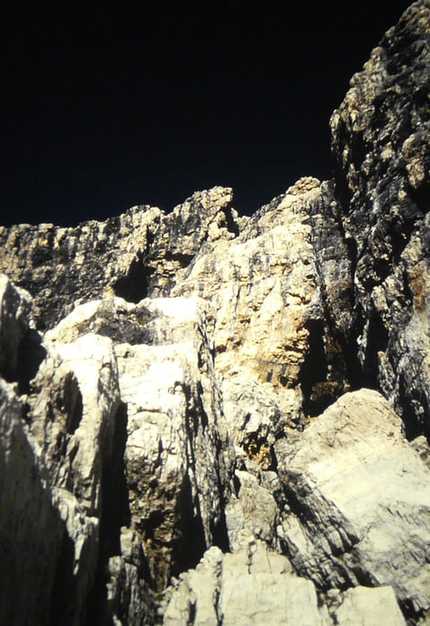
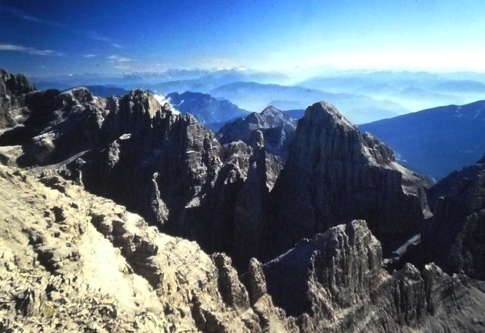
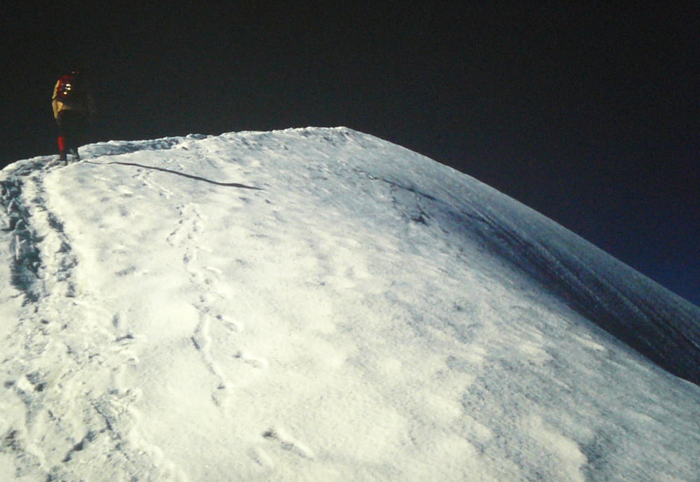
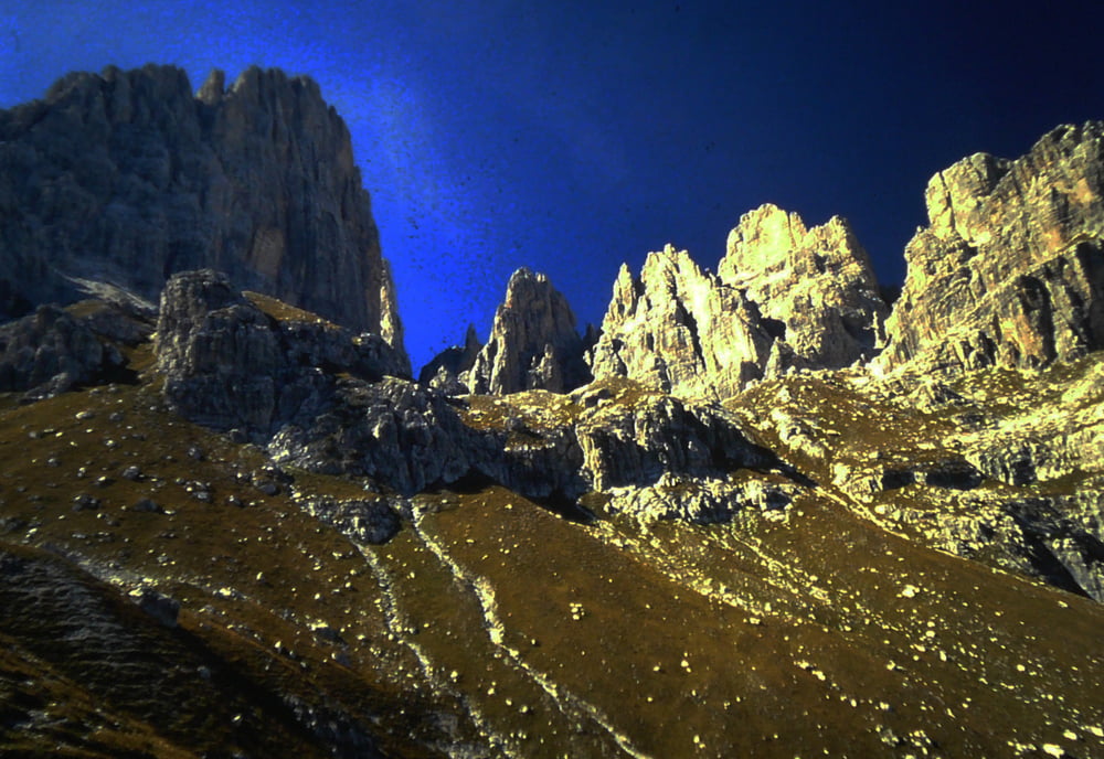
bellisima escursione sulla vetta più alta del Brenta abbastanza dificile il camino che in discesa è meglio avere una corda per la doppia in sicura fatta nel 1986 in 2 gg pernottando al rif Pedrotti

Tour gallery

Tour map and elevation profile

  • Open Street Map
  • Google
Minimum height 1322 m Maximum height 3150 m Detailed view

More about the tour author

bettoliroberto
Member since 2010

Send private message

Comments

GPS tracks

Trackpoints
  • GPX / Garmin Map Source (gpx) download
  • TCX / Garmin Training Center® (tcx) download
  • CRS / Garmin Training Center® (crs) download
  • Google Earth (kml) download
  • G7ToWin (g7t) download
  • TTQV (trk) download
  • Overlay (ovl) download
  • Fugawi (txt) download
  • Kompass (DAV) Track (tk) download
  • Track data sheet (pdf) download
  • Original file of the author (gpx) download

More about the tour author

bettoliroberto
Member since 2010

Send private message
Share track
Add to my favorites
Remove from my favorites
Edit tags
My score
Rate
Track: Cima Tosa per via normale
Type: Mountain hiking
Distance: 12,0 km
Evaluated on:
Duration:
Day(s)
Hour(s)
Minute(s)
Score: Landscape Fun factor Fitness Technique