

ausführliche Beschreibung s. Link
Further information at
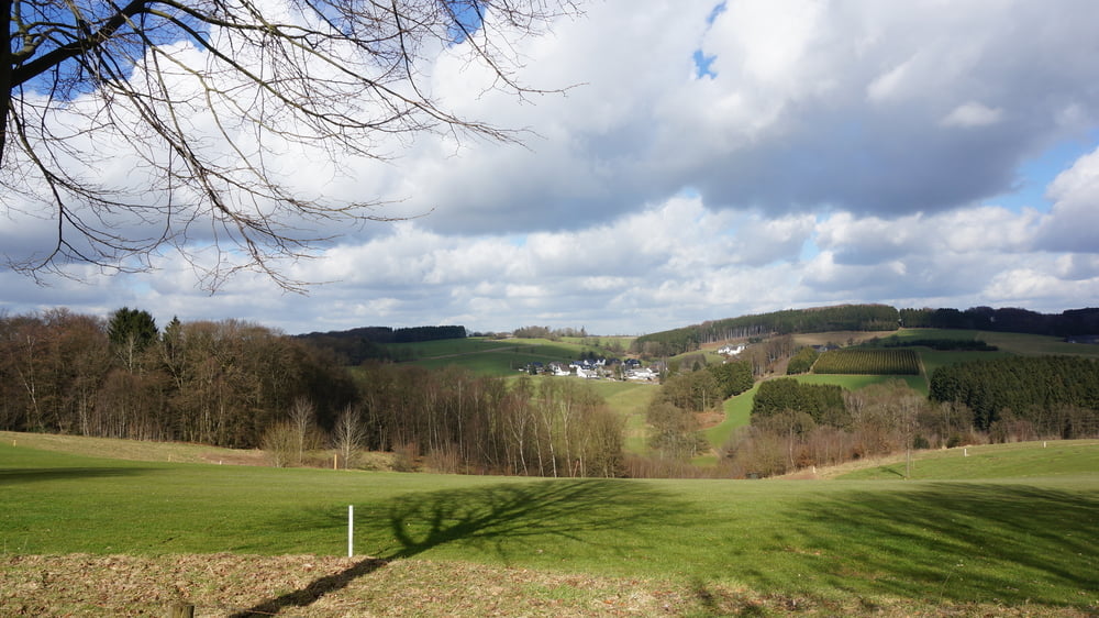
http://www.sudowe.eu/index.php/renate-s-blog/berichte-2015/168-aussichtsreiche-runde-ums-ahlenbachtalTour gallery
Tour map and elevation profile
Minimum height 99999 m
Maximum height -99999 m
More about the tour author
|
|
Renatelev |
Comments

Anfahrt:
PKW: Von Köln nach Bergisch Gladbach und dann auf der L286 bis Spitze, links auf der L289 auf die B506 und rechts nach Bechen, oder direkt die B506 über Bechen bis Weiden nutzen. Von Wuppertal/Remscheid/Düsseldorf A 1 bis AS Burscheid (97). Auf der B 51 in Richtung Leverkusen bis Blecher und dann über Altenberg auf der L310 bis Bechen fahren. Im Kreisverkehr 4. Abfahrt Richtung Wipperfürth (B506) bis Hutsherweg. Der Wanderparkplatz liegt wenige hundert Meter hinter dem Ortseingang auf der zur Talsperre zugewandten Seite.
GPS tracks
Trackpoints-
GPX / Garmin Map Source (gpx) download
-
TCX / Garmin Training Center® (tcx) download
-
CRS / Garmin Training Center® (crs) download
-
Google Earth (kml) download
-
G7ToWin (g7t) download
-
TTQV (trk) download
-
Overlay (ovl) download
-
Fugawi (txt) download
-
Kompass (DAV) Track (tk) download
-
Track data sheet (pdf) download
-
Original file of the author (gpx) download
More about the tour author
|
|
Renatelev |
Add to my favorites
Remove from my favorites
Edit tags
Open track
My score
Rate