


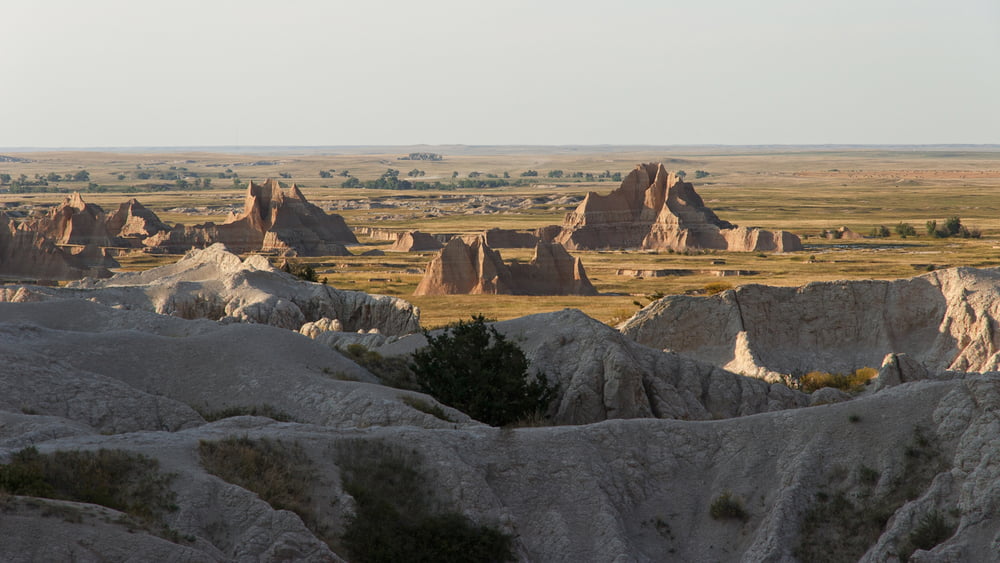
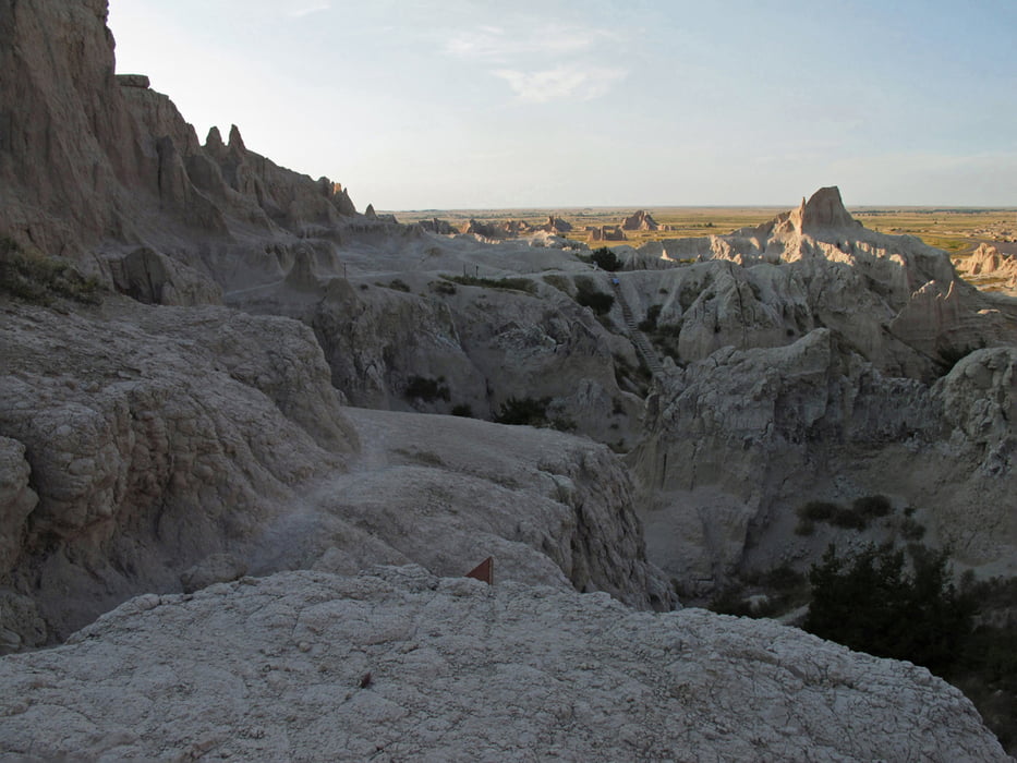
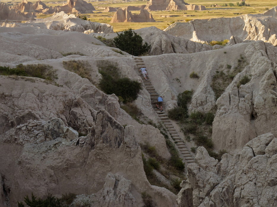
Dieser kurze aber spektakuläre Trail bietet einen unvergleichlichen Überblick über die Landschaft im Badlands Nationalpark in South Dakota. Vom Parkplatz an der Hauptstrasse nicht weit von der Cedar Pass Lodge läuft man erst ein Stück auf Strassenniveau, dann erfolgt ein 40-Meter-Aufstieg, der mithilfe einer Balkenleiter ermöglicht wird. Auf der oberen Ebene läuft man noch ein Stück weiter bis zu einem Aussichtspunkt. Hier oben ist der Weg sehr primitiv, es gibt keine Geländer, also bitte aufpassen, dass Sie nicht in die Tiefe stürzen!
Im Abendlicht ist die Beleuchtung am schönsten.
Tour gallery

Tour map and elevation profile
Minimum height 803 m
Maximum height 840 m
More about the tour author
|
|
Carlos19 |
Comments

Von der Cedar Pass Lodge bzw. dem Ben Reifel Visitor Center im Badlands Nationalpark fährt man nach rechts ca 3 km Richtung Nordost auf dem Highway 240. Dort befindet sich ein Parkplatz, von dem der Weg losgeht.
GPS tracks
Trackpoints-
GPX / Garmin Map Source (gpx) download
-
TCX / Garmin Training Center® (tcx) download
-
CRS / Garmin Training Center® (crs) download
-
Google Earth (kml) download
-
G7ToWin (g7t) download
-
TTQV (trk) download
-
Overlay (ovl) download
-
Fugawi (txt) download
-
Kompass (DAV) Track (tk) download
-
Track data sheet (pdf) download
-
Original file of the author (gpx) download
More about the tour author
|
|
Carlos19 |
Add to my favorites
Remove from my favorites
Edit tags
Open track
My score
Rate