


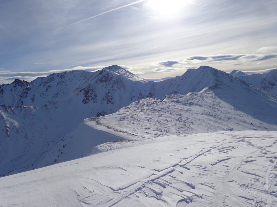
Auf der Forststraße über die Grießmoarhube Richtung Moaralm, am Sommerweg bis Punkt 1395m, dort wenige Meter bergab, dann nach rechts in das Gelände, über steilen Rücken zuerst entlang des Schlages, dann im Wald weiter gerade hinauf. Nach der Baumgrenze schräg rechts hinüber auf den Sattel und dann wenige Meter hinauf zum Gipfel (2:20 Std.).
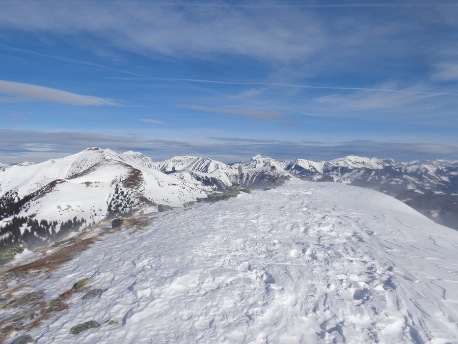
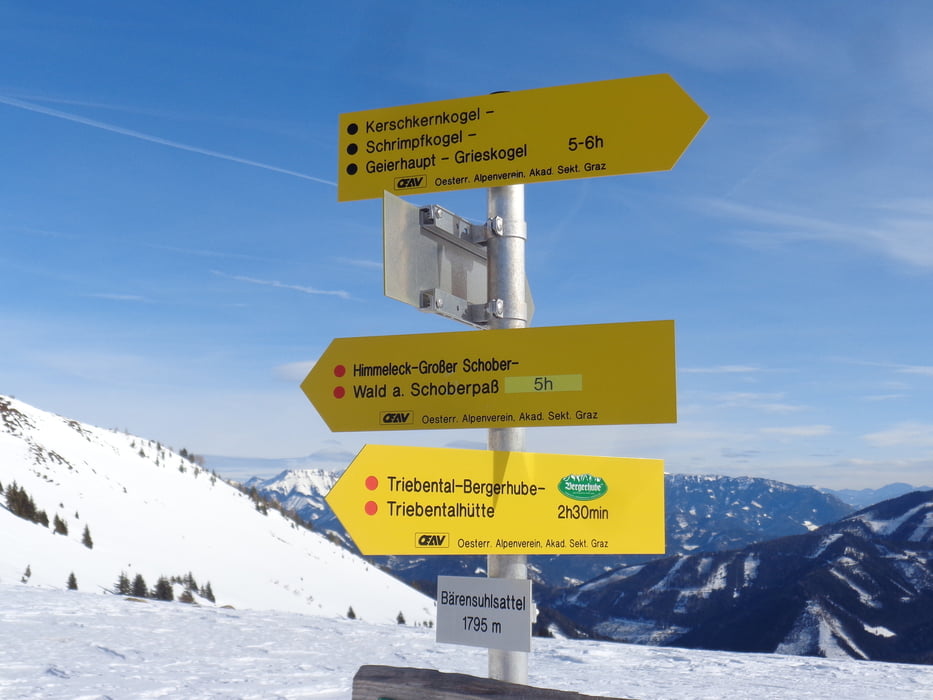
Für den Rückweg über den Bärenkogel in 45 Min. zum Bärensulsattel. Hier links (westlich) auf dem Sommerweg in 1:40 Std. zurück zur Bergerhube.
Further information at
https://www.outdooractive.com/de/skitour/murtal/lattenberg-bergerhube-/9199546/#dmdtab=oax-tab3Tour gallery
Tour map and elevation profile
Minimum height 1187 m
Maximum height 2023 m
More about the tour author

|
JoHangler |
Comments

A9 Richtung Salzburg oder Graz, Ausfahrt 86-Trieben, B114 (Triebener Straße), links abbiegen ins Triebental bis zum Ende der Fahrtmöglichkeit (Ghf. Bergerhube).
GPS tracks
Trackpoints-
GPX / Garmin Map Source (gpx) download
-
TCX / Garmin Training Center® (tcx) download
-
CRS / Garmin Training Center® (crs) download
-
Google Earth (kml) download
-
G7ToWin (g7t) download
-
TTQV (trk) download
-
Overlay (ovl) download
-
Fugawi (txt) download
-
Kompass (DAV) Track (tk) download
-
Track data sheet (pdf) download
-
Original file of the author (gpx) download
More about the tour author
|
|
JoHangler |
Add to my favorites
Remove from my favorites
Edit tags
Open track
My score
Rate