


Reizvolle Tour auf die Göge-Alm.
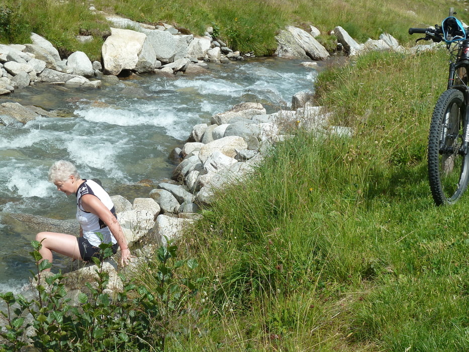
- Es geht auch schneller wie die angebenen 8 Stunden. Aber an diesem Tag hatte es 38 C und wir den ganzen Tag Zeit. Am Anfang lockeres Einradeln so ca. 18 km bis Luttach, meistens an der Ahr entlang. Ab Luttach eine kleine Rampe mit 22 %. Danach immer am Rio-Bianco mit normaler Steigung bergauf bis km 24. Jetzt kommt ein ca. 4 km langer Anstieg mit durchschn. 14,8% (lt. G-Earth) bis kurz vor der Göge-Alm. Müsste ich das Almengelände extra bewerten würde ich 5 Sterne vergeben. Die Alm ist bewirtschaftet und nicht allzuviel los. Wer noch Kraft in den Beinen hat kann dann noch 400 Hm sein Bike hochtragen Richtung Chemnitzer Hütte und über den Nevesstausee abfahren.
Tour gallery


Tour map and elevation profile
Minimum height 837 m
Maximum height 2024 m
More about the tour author
|
|
MegaGuenter |
Comments

GPS tracks
Trackpoints-
GPX / Garmin Map Source (gpx) download
-
TCX / Garmin Training Center® (tcx) download
-
CRS / Garmin Training Center® (crs) download
-
Google Earth (kml) download
-
G7ToWin (g7t) download
-
TTQV (trk) download
-
Overlay (ovl) download
-
Fugawi (txt) download
-
Kompass (DAV) Track (tk) download
-
Track data sheet (pdf) download
-
Original file of the author (gpx) download
More about the tour author
|
|
MegaGuenter |
Add to my favorites
Remove from my favorites
Edit tags
Open track
My score
Rate