


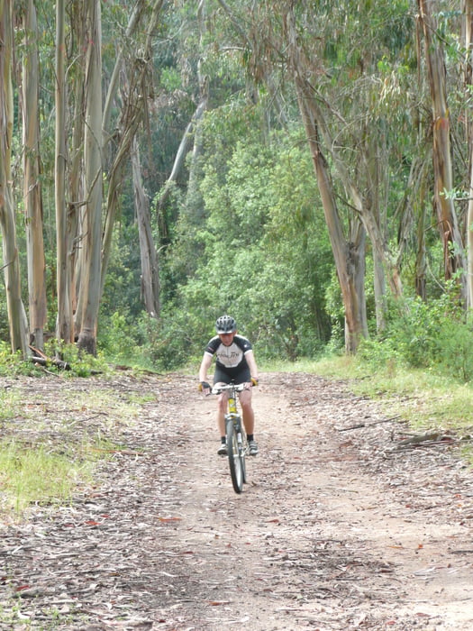
Start ist bein Camping Le Sud in Porticcio. Von dort geht es gemächlich durch einen tollen Wald hoch bis zur sehr wenig befahrenen D55. Nach kurzer Fahrt auf dieser Straße biegen wir wieder in den Chiavarawald ein. Abwärts haben wir die Piste forestiere Piscia benutzt. Durch den engen Bewuchs fühlten wir uns wie in einen grünen Tunnel. Unbedingt von Oben nach Unten fahren. Toll zu surfen.
Diese Tour kann auch von sportlichen Kindern gefahren werden, da sie konditionell nicht sehr anspruchsvoll ist.
Diese Tour kann auch von sportlichen Kindern gefahren werden, da sie konditionell nicht sehr anspruchsvoll ist.
Tour gallery

Tour map and elevation profile
Minimum height -2 m
Maximum height 523 m
More about the tour author

|
Comments

Der Camping liegt direkt an der Küstenstraße von Ajaccio nach Porticcio.
GPS tracks
Trackpoints-
GPX / Garmin Map Source (gpx) download
-
TCX / Garmin Training Center® (tcx) download
-
CRS / Garmin Training Center® (crs) download
-
Google Earth (kml) download
-
G7ToWin (g7t) download
-
TTQV (trk) download
-
Overlay (ovl) download
-
Fugawi (txt) download
-
Kompass (DAV) Track (tk) download
-
Track data sheet (pdf) download
-
Original file of the author (g7t) download
More about the tour author
|
|
Add to my favorites
Remove from my favorites
Edit tags
Open track
My score
Rate