


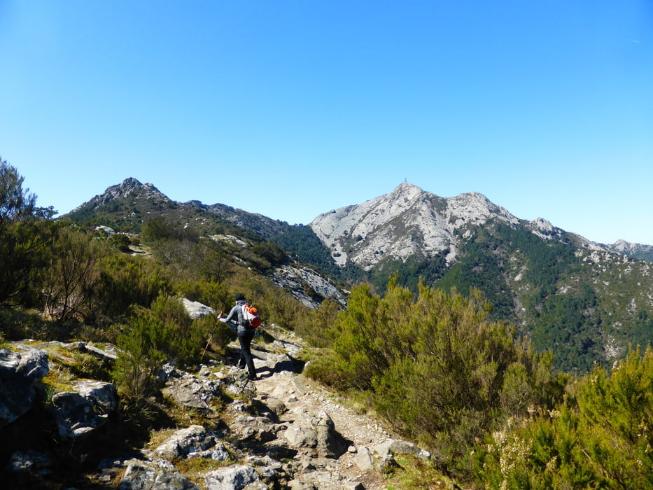
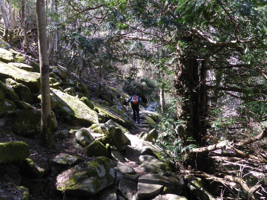
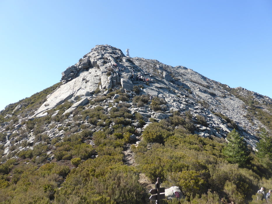
Wanderung vom Pass beim Mt. Perone zum Mt. Campanne
abwechslungsreicher Weg zum Mt. Capanne.
Schwierigkeit: Trittsicherheit erforderlich, hier nicht die Klettersteigvariante
Alternativ kann man den Gratweg nehmen, der ist aber leicht alpin und hat teilweise Seilversicherung. So schlimm kann die alpine Variante nicht sein, Italiener sind mit Hund und Kleinkindern dort lang.
Tour gallery
Tour map and elevation profile
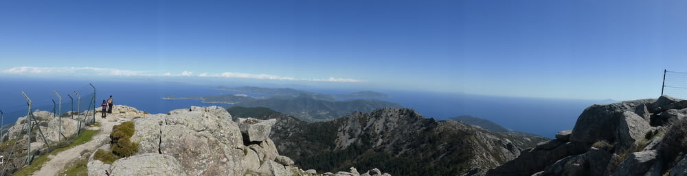
Minimum height 579 m
Maximum height 1021 m
More about the tour author
|
|
skyhopper |
Comments

parken am Mt. Perone Pass, erreichbar über Marciana oder San Piero über die Mt. Perone Strasse (etwas schmal aber geteert).
GPS tracks
Trackpoints-
GPX / Garmin Map Source (gpx) download
-
TCX / Garmin Training Center® (tcx) download
-
CRS / Garmin Training Center® (crs) download
-
Google Earth (kml) download
-
G7ToWin (g7t) download
-
TTQV (trk) download
-
Overlay (ovl) download
-
Fugawi (txt) download
-
Kompass (DAV) Track (tk) download
-
Track data sheet (pdf) download
-
Original file of the author (gpx) download
More about the tour author
|
|
skyhopper |
Add to my favorites
Remove from my favorites
Edit tags
Open track
My score
Rate