


Schöne Feierabendrunde auf Teilen des W- und des S-Weges. Die Runde ist für einen durchschnittlich trainierten und technisch versierten Biker gut fahrbar. Teilweise sind kleine Trails eingebaut, welche auf der Topo D nicht eingezeichnet sind.Ich hoffe, die Einstiege sind gut zu finden. Vom Schaberg gehts wieder runter nach Müngsten (z.T. am Kletternetz)...aus Zeitgründen habe ich bis zum Friedenstal den Radweg gewählt. Die Route durchs Cronenberger Burgholz führt direkt auf die Sambatrasse. Diese wird dann auf einem links zunächst parallel laufenden Trail verlassen. Ein technisch recht netter aber kurzer Trail spuckt dich oberhalb des Boltenbergs aus. Viel Spaß!
P.S. Es wird nur auf eindeutigen Wegen gefahren!
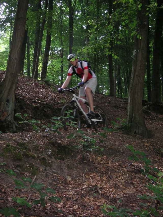
Tour gallery
Tour map and elevation profile
Minimum height 105 m
Maximum height 275 m
More about the tour author

|
singletrailer |
Comments

Der Track beginnt an der Gesamtschule Vohwinkel, hier unterhalb der Schule links abbiegen. Asphaltierte Strecke geht direkt in den Trail über.
GPS tracks
Trackpoints-
GPX / Garmin Map Source (gpx) download
-
TCX / Garmin Training Center® (tcx) download
-
CRS / Garmin Training Center® (crs) download
-
Google Earth (kml) download
-
G7ToWin (g7t) download
-
TTQV (trk) download
-
Overlay (ovl) download
-
Fugawi (txt) download
-
Kompass (DAV) Track (tk) download
-
Track data sheet (pdf) download
-
Original file of the author (gpx) download
More about the tour author
|
|
singletrailer |
Add to my favorites
Remove from my favorites
Edit tags
Open track
My score
Rate