


Start der Tour ist beim Billa in Purkersdorf.
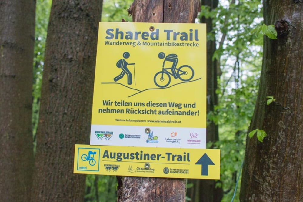
Die Strecke verläuft hauptsächlich auf MTB-Strecken wie der Dambach- , Troppbergstrecke und dem Augustiner Trail.
Von Purkersdorf geht es durch Baunzen nach Neu Purkersdorf und auf den Troppberg.
Vom Troppberg vorbei an der Laabacher Schenke nach Gablitz, weiter durch den Purkersdorfer Forst zum Augustiner Trail und zum Trailpark Hohe Wand Wiese.
Durch Wien Hadersdorf und Unter Purkersdorf geht es zurück nach Purkersdorf.
Tour gallery

Tour map and elevation profile
Minimum height 233 m
Maximum height 555 m
More about the tour author
|
|
kersti |
Comments

Parkmöglichkeit hinter dem Billa in der Süßfeldstraße
GPS tracks
Trackpoints-
GPX / Garmin Map Source (gpx) download
-
TCX / Garmin Training Center® (tcx) download
-
CRS / Garmin Training Center® (crs) download
-
Google Earth (kml) download
-
G7ToWin (g7t) download
-
TTQV (trk) download
-
Overlay (ovl) download
-
Fugawi (txt) download
-
Kompass (DAV) Track (tk) download
-
Track data sheet (pdf) download
-
Original file of the author (gpx) download
More about the tour author
|
|
kersti |
Add to my favorites
Remove from my favorites
Edit tags
Open track
My score
Rate