


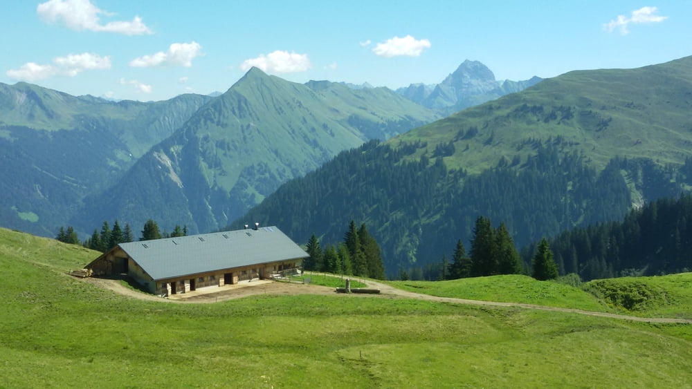
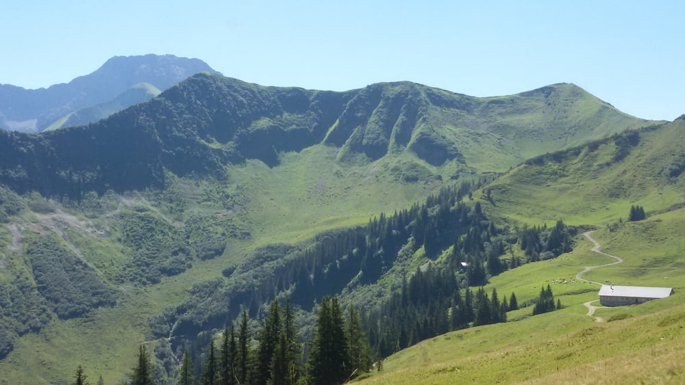
Start vom Parkplatz der Gemeinde Au zunächst entlang dem Lift. Durch ein Gatter kommt man auf den Forstweg, der zu den Alpen Godlachenalpe, Brendleralpe und Säckelalpe führt. Letztere läd zu einer Pause ein. Von da ist es nicht mehr weit zum Gipfer der Brendler Lug. Man kann praktisch mit dem MTB bis zum Gipfel fahren. Danach 600 mtr. auf gleichem Weg zurück bis zum zum Sattel und Abfahrt zur Faschinastraße nach Au zum Parkplatz
Tour gallery


Tour map and elevation profile
Minimum height 809 m
Maximum height 1777 m
More about the tour author
|
|
yr1willi |
Comments

Von der Rheintalautobahn, Ausfahrt Dornbirn Nord, über die B200 in den Bregenzerwald. Immer auf der B200 bleibend, an Alberschwende und Andelsbuch vorbei nach Au-Schoppernau. In Au biegt man rechts Richtung Damüls ab und fährt über die Brücke, zweigt dann aber sogleich wieder links ab zum Schlepplift Grunholz. Parken kann man am Gemeindeamt von Au.
Navi-Adresse: 6883 Au, Argenau 376
Navi-Adresse: 6883 Au, Argenau 376
GPS tracks
Trackpoints-
GPX / Garmin Map Source (gpx) download
-
TCX / Garmin Training Center® (tcx) download
-
CRS / Garmin Training Center® (crs) download
-
Google Earth (kml) download
-
G7ToWin (g7t) download
-
TTQV (trk) download
-
Overlay (ovl) download
-
Fugawi (txt) download
-
Kompass (DAV) Track (tk) download
-
Track data sheet (pdf) download
-
Original file of the author (gpx) download
More about the tour author
|
|
yr1willi |
Add to my favorites
Remove from my favorites
Edit tags
Open track
My score
Rate