

Start am Trailhead direkt am Interstate / Ausfahrt Ruby
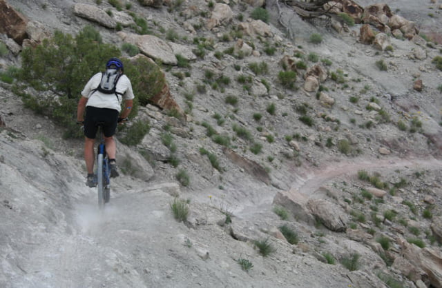
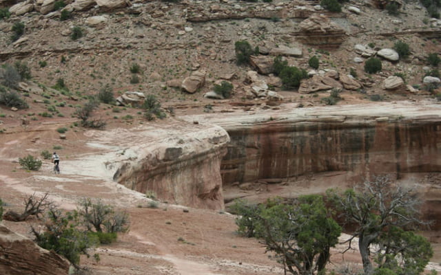
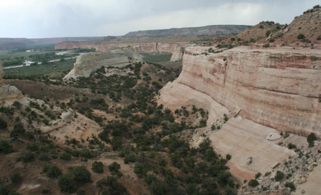
Erst auf double Track, dann auf super single Trail am Abbruch entlang, Aussicht auf den Colorado.
Erst auf double Track, dann auf super single Trail am Abbruch entlang, Aussicht auf den Colorado.
Tour gallery
Tour map and elevation profile
Minimum height 1393 m
Maximum height 1522 m
More about the tour author
|
|
RandB |
Comments

Interstate Ausfahrt Rub.
Gleich südlich des Interstate ist ein Parkplatz.
GPS tracks
Trackpoints-
GPX / Garmin Map Source (gpx) download
-
TCX / Garmin Training Center® (tcx) download
-
CRS / Garmin Training Center® (crs) download
-
Google Earth (kml) download
-
G7ToWin (g7t) download
-
TTQV (trk) download
-
Overlay (ovl) download
-
Fugawi (txt) download
-
Kompass (DAV) Track (tk) download
-
Track data sheet (pdf) download
-
Original file of the author (gpx) download
More about the tour author
|
|
RandB |
Add to my favorites
Remove from my favorites
Edit tags
Open track
My score
Rate