


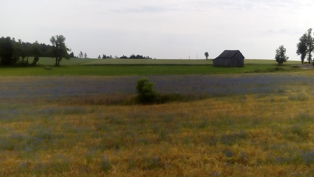
Anfangs wieder easy cheesy durch die Waldviertler Hügellandschaft, einiges auf der Straße bei praktisch null Verkehr. Sobald es auf den Weinviertel-track geht wird es wieder happig.
Und dann von Spitz in die "Berge" 500hm diritissima schieben zunächst bis Buschandlwand, oben gibt es dann anspruchsvolle trails, die sich mit einfacheren Wiesen- und Forstwegen abwechseln.
Leider ist mein Wasservorrat zu Ende gegangen, daher musste ich irgendwann mal diritissima runter und hab dann im Gartenhotel getankt.
Schware Partie für mi. Glaubt man gar nicht bei diesen geringen Höhen.
Tour gallery


Tour map and elevation profile
Minimum height 226 m
Maximum height 861 m
More about the tour author
|
|
mitter |
Comments

Von Ottenschlag einen Abstecher nach Kirchschlag und dann gehts los.
GPS tracks
Trackpoints-
GPX / Garmin Map Source (gpx) download
-
TCX / Garmin Training Center® (tcx) download
-
CRS / Garmin Training Center® (crs) download
-
Google Earth (kml) download
-
G7ToWin (g7t) download
-
TTQV (trk) download
-
Overlay (ovl) download
-
Fugawi (txt) download
-
Kompass (DAV) Track (tk) download
-
Track data sheet (pdf) download
-
Original file of the author (gpx) download
More about the tour author
|
|
mitter |
Add to my favorites
Remove from my favorites
Edit tags
Open track
My score
Rate