


Bike&Hike-Tour
Start am Agriturismo Bertin (etwa 4 km oberhalb von Campo Ligure)
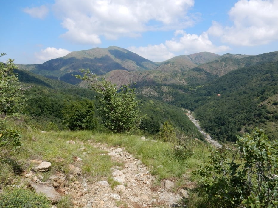
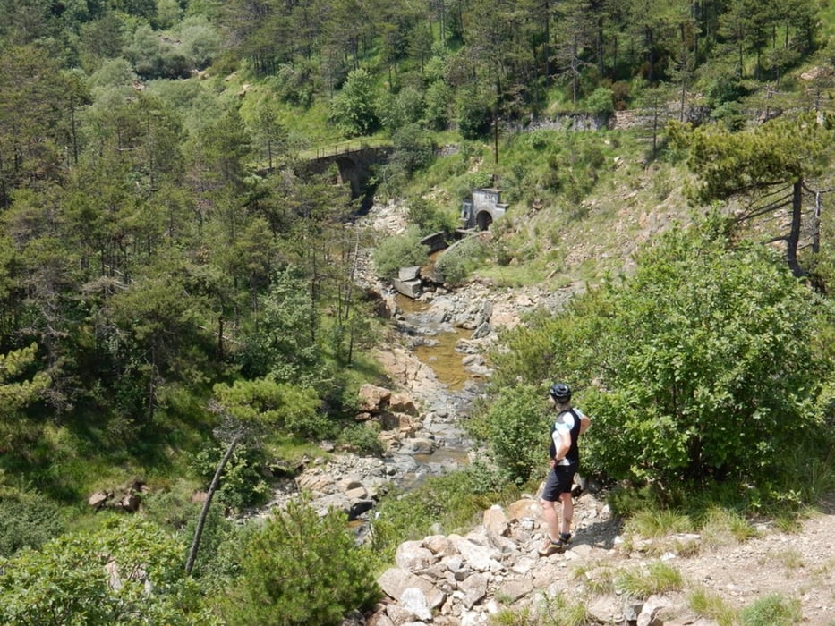
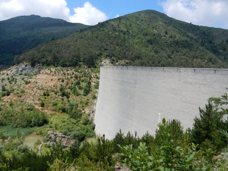
Zunächst Anstieg auf Asphalt, dann breiter Forstweg, der sich etwa ab km 12 bis km 17 in eine Schiebe- und Trage-Strecke wandelt. Dies vor allem nach dem Überschreiten der Stauseemauer.
Abfahrt über Forst und Asphalt zu Agriturismo Bertin.
Tour gallery
Tour map and elevation profile
Minimum height 532 m
Maximum height 815 m
More about the tour author

|
JV |
Comments

Arenzano (Genua) - Autobahn E25 Ri Alessandria
Campo Ligure
Agriturismo Bertin (Stellplatz für WoMo (Restaurant); sehr freundlich)
GPS tracks
Trackpoints-
GPX / Garmin Map Source (gpx) download
-
TCX / Garmin Training Center® (tcx) download
-
CRS / Garmin Training Center® (crs) download
-
Google Earth (kml) download
-
G7ToWin (g7t) download
-
TTQV (trk) download
-
Overlay (ovl) download
-
Fugawi (txt) download
-
Kompass (DAV) Track (tk) download
-
Track data sheet (pdf) download
-
Original file of the author (gpx) download
More about the tour author
|
|
JV |
Add to my favorites
Remove from my favorites
Edit tags
Open track
My score
Rate