


Einfache Tour, meist auf staubigen Schotterwegen und schmale Asphaltstraßen. Die Radrunde ist auch offiziell unter dem Namen „Casanova Runde“ bekannt.
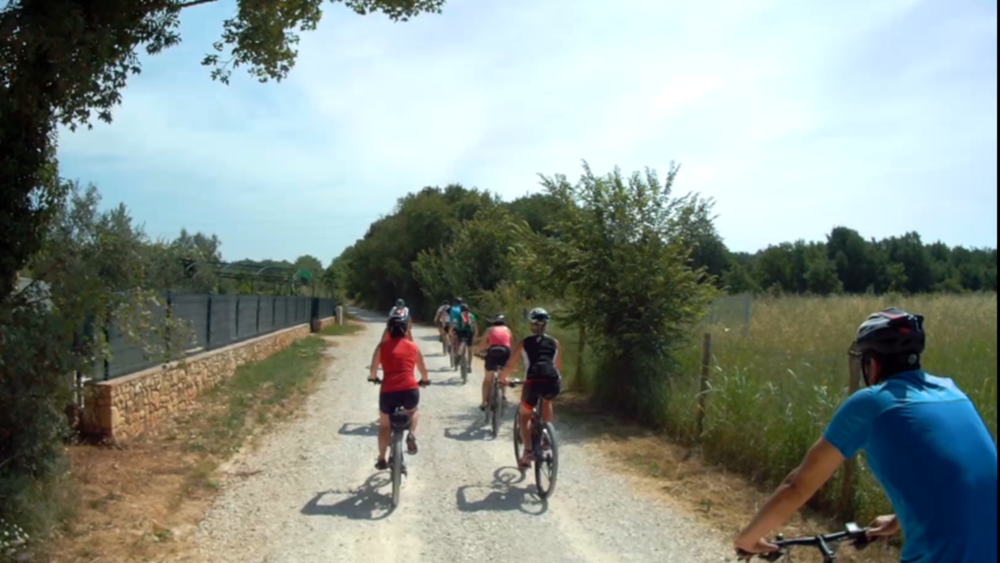
Wir starten beim Camp Valkanela ins Landesinnere durch das Weinanbaugebiet. Kurz vor Klostar biegen wir scharf rechts ab und halten uns oberhalb vom Limskifjord. Der Schotterweg verläuft weitgehend angenehm im Schatten.
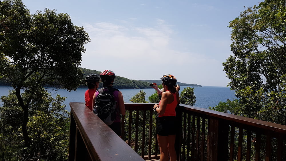
Wir kommen an der Piratenhöhle und danach an einem Aussichtspunkt vorbei.
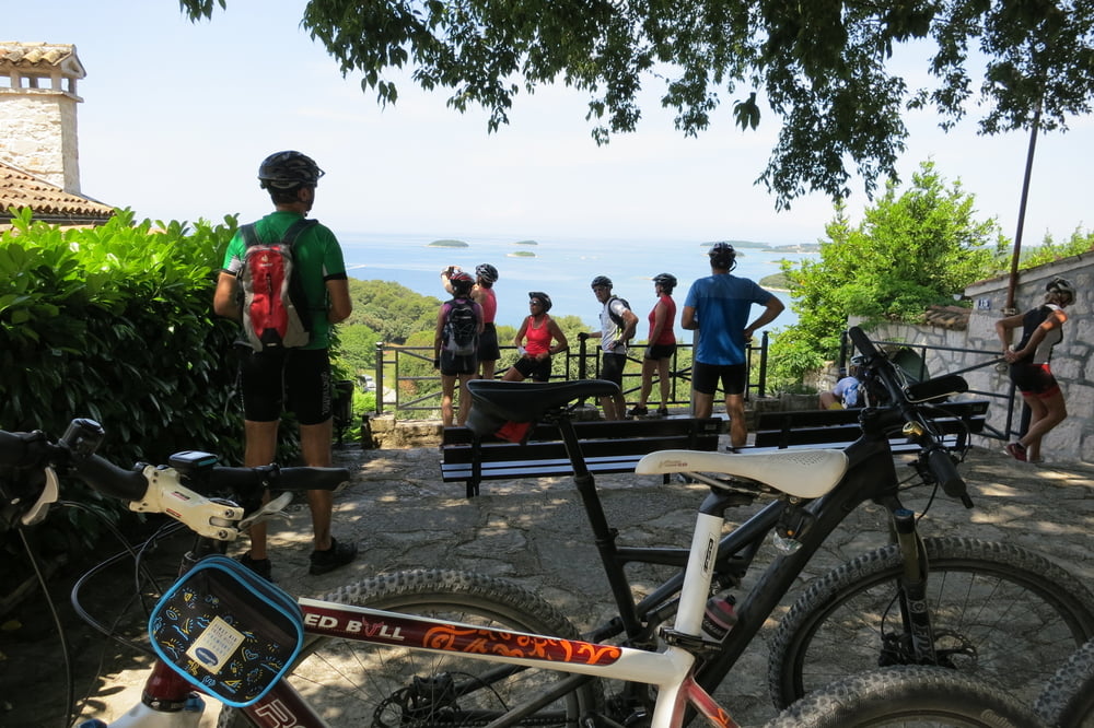
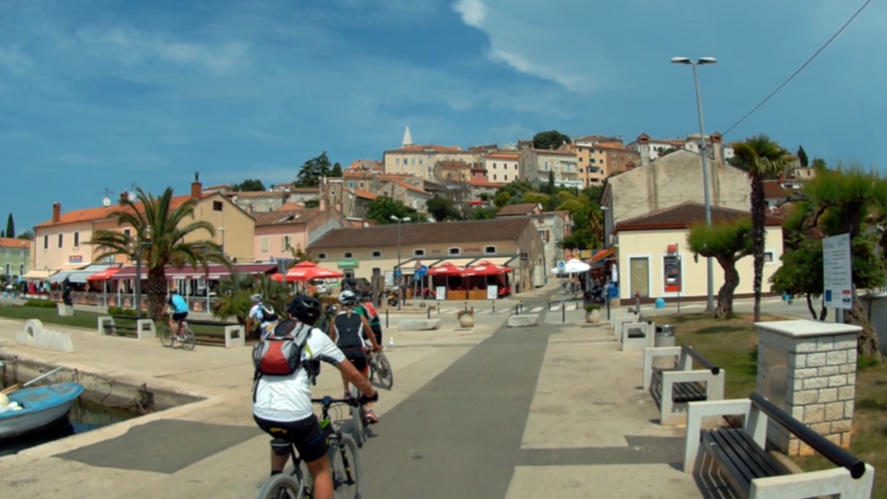
In Vrsar fahren wir hinauf durch den Ort und genießen einen schönen Ausblick auf das Meer. Zum Einkehren fahren wir hinunter zum Hafen.
An der Küste entlang radeln wir zum Ausgangspunkt zurück.
http://de.wikipedia.org/wiki/Limski-Kanal
Further information at
https://de.wikipedia.org/wiki/Limski-KanalTour gallery
Tour map and elevation profile
Minimum height 7 m
Maximum height 100 m
More about the tour author
|
|
W-C |
Comments

Von Österreich nach Slowenien durch den Karawankentunnel – Ljubljana – Koper – in Kroatien Autobahnabfahrt Porec, Vrsar.
Zwischen Funtana und Vrsar liegt das Camp Valkanela.
Parkplatz Koordinaten:
N45° 09. 915` E13° 36. 479`
GPS tracks
Trackpoints-
GPX / Garmin Map Source (gpx) download
-
TCX / Garmin Training Center® (tcx) download
-
CRS / Garmin Training Center® (crs) download
-
Google Earth (kml) download
-
G7ToWin (g7t) download
-
TTQV (trk) download
-
Overlay (ovl) download
-
Fugawi (txt) download
-
Kompass (DAV) Track (tk) download
-
Track data sheet (pdf) download
-
Original file of the author (gpx) download
More about the tour author
|
|
W-C |
Add to my favorites
Remove from my favorites
Edit tags
Open track
My score
Rate