


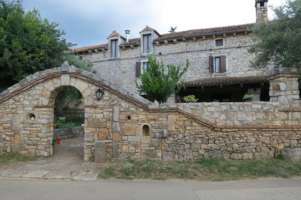
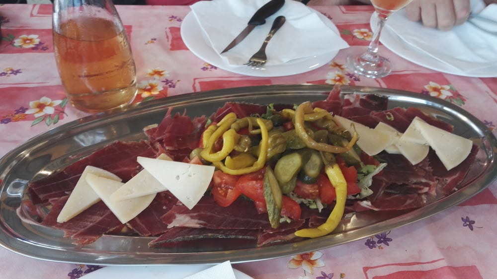
„Beim Zoki“ ist eine empfehlenswerte Einkehrmöglicht in Veleniki. Weitere Informationen siehe den Link.
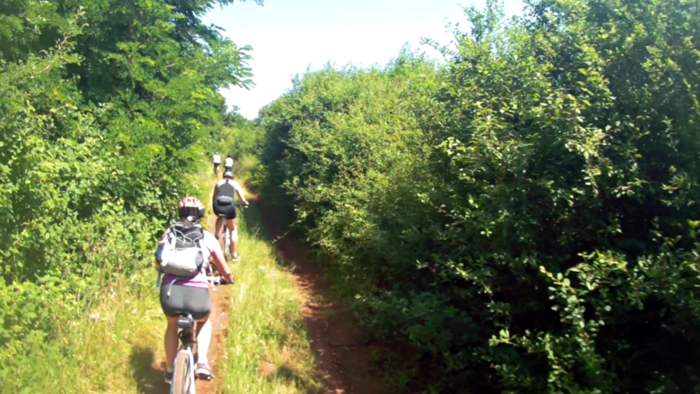
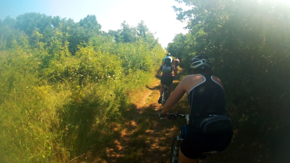
Wegbeschaffenheit: Schotter und Feldwege, kleine Asphaltstraßen und ein längeres Stück auf der Landstraße ca. 6 km.
Wir starten beim Camp Valkanela, Richtung Vrsar durch das Weinanbaugebiet nach Flengi – Marasi – Rajki, durch den Ort „Sveti Lovrec“ machen wir eine kleine Besichtigungsrunde. Von dort fahren wir ca. 6 km auf der Landstraße nach Zbandaj – Mihelici nach Veleniki zum Zoki.
Nach dem Einkehren radeln wir nach Porec und an der Küste entlang zurück zum Ausgangspunkt.
Further information at
https://www.ferienhausporec.de/im-dem-kleinen-veleniki-steckt-viel-drin/beim-zoki/Tour gallery
Tour map and elevation profile
Minimum height -7 m
Maximum height 190 m
More about the tour author
|
|
W-C |
Comments

Von Österreich nach Slowenien durch den Karawankentunnel – Ljubljana – Koper – in Kroatien Autobahnabfahrt Porec, Vrsar.
Zwischen Funtana und Vrsar liegt das Camp Valkanela.
Parkplatz Koordinaten:
N45° 09. 915` E13° 36. 479`
GPS tracks
Trackpoints-
GPX / Garmin Map Source (gpx) download
-
TCX / Garmin Training Center® (tcx) download
-
CRS / Garmin Training Center® (crs) download
-
Google Earth (kml) download
-
G7ToWin (g7t) download
-
TTQV (trk) download
-
Overlay (ovl) download
-
Fugawi (txt) download
-
Kompass (DAV) Track (tk) download
-
Track data sheet (pdf) download
-
Original file of the author (gpx) download
More about the tour author
|
|
W-C |
Add to my favorites
Remove from my favorites
Edit tags
Open track
My score
Rate