


Ab Vinanders auf der Straße am Anfang leicht ansteigend bis sich das Obernberger Tal weit öffnet. Am weiten Talboden bis Gereit. Ab hier auf dem Schotterweg - mittlere Steigung bis zum Obernberger See. Am linken Ufer des Sees flach bis zu einer Wiese am Seeende. Em Ende des Sees auf einem schmalen Steig (teilweise Schiebestrecke) zurück zum Seeeinstieg. Rückweg gleich wie Anfahrt zum Parkplatz
Further information at
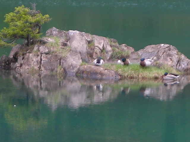
http://www.obernbergersee.at/Tour gallery
Tour map and elevation profile
Minimum height 1249 m
Maximum height 1671 m
More about the tour author
|
|
bhumml |
Comments

Auf der Brennerautobahn (A13) bis Matrei und weiter auf der Brennerbundesstraße bis Gries am Brenner nach rechts abzweigen ins Obernberger Tal bis Vinanders
GPS tracks
Trackpoints-
GPX / Garmin Map Source (gpx) download
-
TCX / Garmin Training Center® (tcx) download
-
CRS / Garmin Training Center® (crs) download
-
Google Earth (kml) download
-
G7ToWin (g7t) download
-
TTQV (trk) download
-
Overlay (ovl) download
-
Fugawi (txt) download
-
Kompass (DAV) Track (tk) download
-
Track data sheet (pdf) download
-
Original file of the author (gpx) download
More about the tour author
|
|
bhumml |
Add to my favorites
Remove from my favorites
Edit tags
Open track
My score
Rate