Login

Forgot your login?

Cookies have to be accepted!
Your browser's cookie functionality is disabled. Please enable this functionality.

Not a member yet?

Register now
Login

Available for registred users only

Log in to use this feature.

Forgot your login?

Cookies have to be accepted!
Your browser's cookie functionality is disabled. Please enable this functionality.

Not a member yet?

Register now
Filter
Categories
Advanced filters
  • Distance (km)
  • Height
Save filters Reset filter

TrackRank

QRCode

Technical data

Distance33,6 km Height543 m Way down538 m Duration02:15 h:m Date02.06.2008
Scores Author Landscape Fun factor Fitness Technique

Statistics

877 Views Scores 179 Downloads Average
Rate
  • Track data sheet
  • Directions
  • Downloads
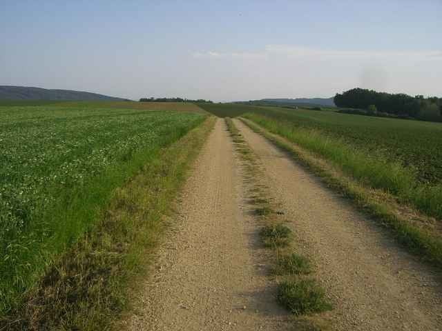
Von Gars startet man auf dem "Graslweg" (Gars - Buttendorf - Sachsendorf - Klein Burgstall). Ab Eggenburg folgt man der "Manhartsberg-Strecke". Danach geht's über tolle Feldwege und kurze Asphaltpassagen zurück nach Gars am Kamp.

Further information at

http://www.mbike.at/mbike/wv/

Tour gallery

Tour map and elevation profile

  • Open Street Map
  • Google
Minimum height 252 m Maximum height 536 m Detailed view

More about the tour author

harnoncourt

Comments

Mit der Bahn oder per Auto nach Gars am Kamp.

GPS tracks

Trackpoints
  • GPX / Garmin Map Source (gpx) download
  • TCX / Garmin Training Center® (tcx) download
  • CRS / Garmin Training Center® (crs) download
  • Google Earth (kml) download
  • G7ToWin (g7t) download
  • TTQV (trk) download
  • Overlay (ovl) download
  • Fugawi (txt) download
  • Kompass (DAV) Track (tk) download
  • Track data sheet (pdf) download
  • Original file of the author (gpx) download

More about the tour author

harnoncourt

Share track
Add to my favorites
Remove from my favorites
Edit tags
My score
Rate
Track: Von Gars zum Manhartsberg u. zurück
Type: Mountain bike
Distance: 33,6 km
Evaluated on:
Duration:
Day(s)
Hour(s)
Minute(s)
Score: Landscape Fun factor Fitness Technique