


Passo Cereda-Fiera di Primiero-Mezzano-Imer-
Passo Gobbera (968)-Canal Bovo-Passo Brocon (1616)-
Castel Tesino-Grigno-Rif. Barricata
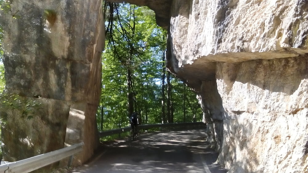
Vom Pass schnell auf der Staße 7km die Straße runter nach Fiera, auf dem Radweg bis Imer. Erster ca 300hm Anstieg auf der Straße zum Passo Gobbera. Wieder runter nach Canal San Bovo. Von da die Straße rauf zum Passo Brocon, ca 900hm. Dann endlich weg von der Straße auf einen wunderbaren Weg (offiz. MTB Strecke) runter nach Castel Tesino: ME + Wäschetrocknung! Zum Glück haben wir da nicht die Straße genommen… Nach Grigno den Fiume Brenta überquert ca 240m, paar km das Tal aufwärts und dann der ultimative Anstieg auf alter Militärstraße (geteert) ca 1100 hm rauf zum Rif. Barricata. Angenehme Steigung, zum Glück viel im Schatten, aber es zieht sich.
Vom Pass schnell auf der Staße 7km die Straße runter nach Fiera, auf dem Radweg bis Imer. Erster ca 300hm Anstieg auf der Straße zum Passo Gobbera. Wieder runter nach Canal San Bovo. Von da die Straße rauf zum Passo Brocon, ca 900hm. Dann endlich weg von der Straße auf einen wunderbaren Weg (offiz. MTB Strecke) runter nach Castel Tesino: ME + Wäschetrocknung! Zum Glück haben wir da nicht die Straße genommen… Nach Grigno den Fiume Brenta überquert ca 240m, paar km das Tal aufwärts und dann der ultimative Anstieg auf alter Militärstraße (geteert) ca 1100 hm rauf zum Rif. Barricata. Angenehme Steigung, zum Glück viel im Schatten, aber es zieht sich.
Quartier Rif Barricata NF + AE 50 €, gut.
Tour gallery


Tour map and elevation profile
Minimum height 270 m
Maximum height 1616 m
More about the tour author
|
|
mitter |
Comments

Start auf dem Passo Cereda.
GPS tracks
Trackpoints-
GPX / Garmin Map Source (gpx) download
-
TCX / Garmin Training Center® (tcx) download
-
CRS / Garmin Training Center® (crs) download
-
Google Earth (kml) download
-
G7ToWin (g7t) download
-
TTQV (trk) download
-
Overlay (ovl) download
-
Fugawi (txt) download
-
Kompass (DAV) Track (tk) download
-
Track data sheet (pdf) download
-
Original file of the author (gpx) download
More about the tour author
|
|
mitter |
Add to my favorites
Remove from my favorites
Edit tags
Open track
My score
Rate