


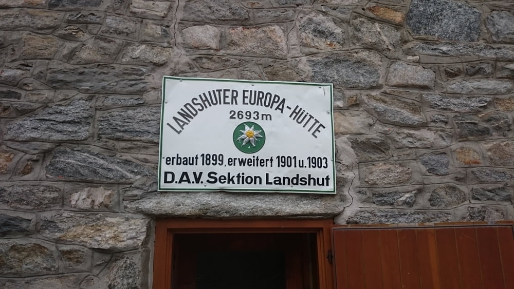
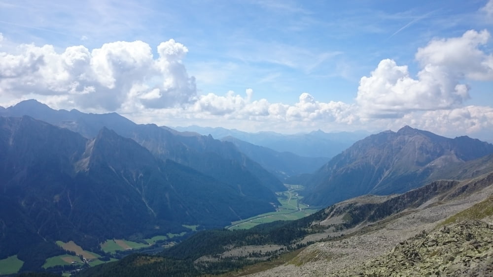
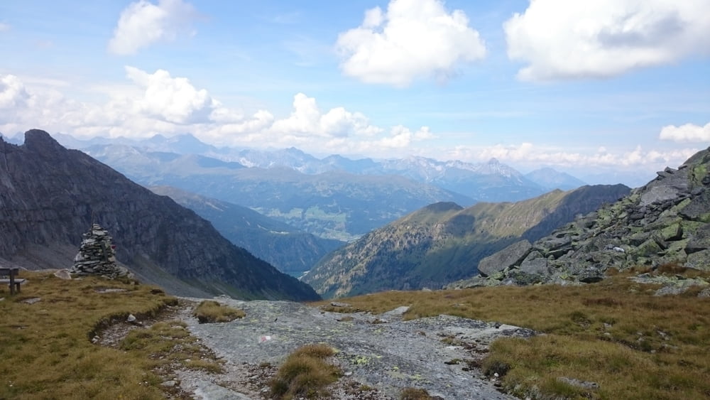
Vom Brennersee vorbei an den Vennhöfen zur Landshuter-Europahütte. Der Weg ist zwar steil, aber gut zu gehen. Das Panorama ist gigantisch.
Am Parkplatz nicht irritieren lassen. Die Gehzeit ist mit 4,5 Stunden für den Aufstieg angegeben. Wir waren wegen Gewittermeldungen zum Nachmittag sehr zügig unterwegs und haben 3 Stunden gebraucht. Aber auch ohne einen schnellen Schritt schafft man es sicher in deutlich unter 4 Stunden.
Tour gallery
Tour map and elevation profile
Minimum height 1278 m
Maximum height 2693 m
More about the tour author

|
klixx |
Comments

Von Norden kommend auf der B182 bis kurz vor der italienischen Grenze. Parkplätze gibt es auf beiden Seiten der Unterführung.
GPS tracks
Trackpoints-
GPX / Garmin Map Source (gpx) download
-
TCX / Garmin Training Center® (tcx) download
-
CRS / Garmin Training Center® (crs) download
-
Google Earth (kml) download
-
G7ToWin (g7t) download
-
TTQV (trk) download
-
Overlay (ovl) download
-
Fugawi (txt) download
-
Kompass (DAV) Track (tk) download
-
Track data sheet (pdf) download
-
Original file of the author (gpx) download
More about the tour author
|
|
klixx |
Add to my favorites
Remove from my favorites
Edit tags
Open track
My score
Rate