
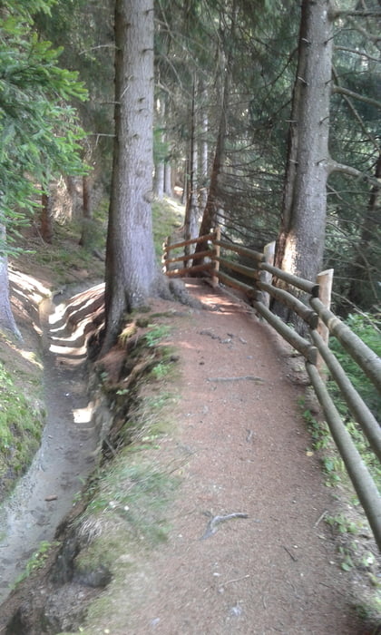

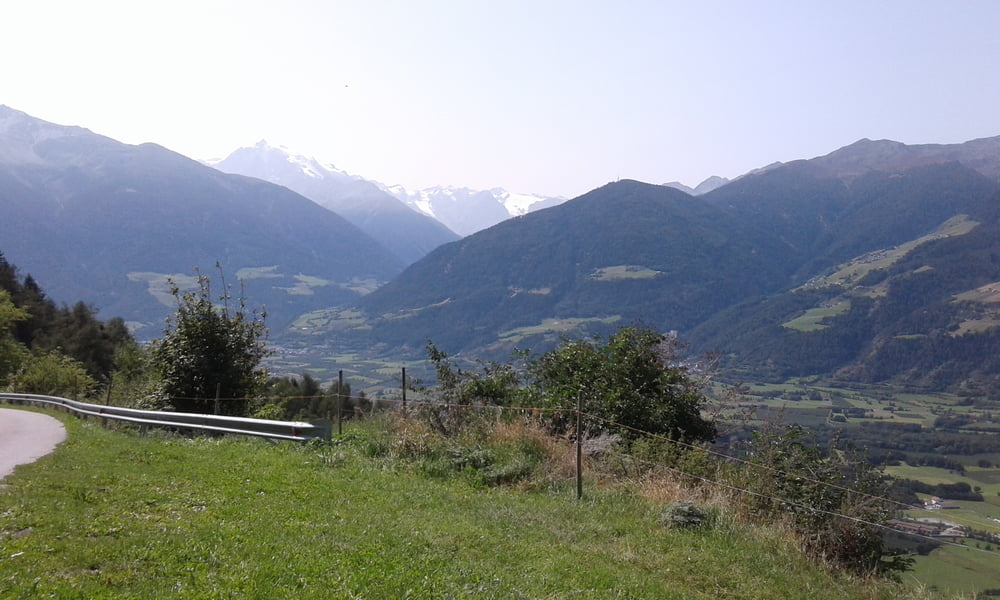
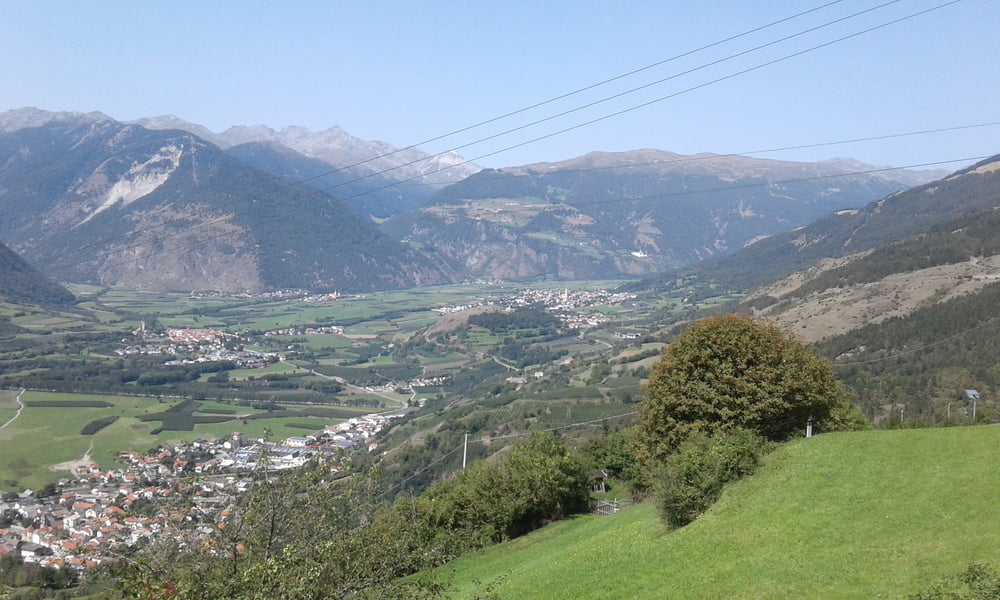
Vom Camping Badlerhof auf dem Radweg nach Burgeis. Hier den Sentiere del Sole (Nr. 17 - für Radfahrer gesperrt) bis Schluderns. Ich bin dann nach Schluderns runtergefahren (netter Trail), aber nicht zwingend notwendig. Einfach auf dem 17er bleiben. Von Schluderns gehts die Asphaltstrasse hoch zum Greinhof (langweilig) . Ab hier ein schöner Trail an einem Waalweg entlang nach Gschnair. Weiter auf Wegnr. 23. Ich bin dann die Strasse hoch gefahren, aber man bleibt besser auf dem 23er. Dann weiter immer am Sonnenhang entlang. Schmaler Trail (breiter wie Reifen, aber schmaler als Lenker) - Manchmal eng und ausgesetzt. Man kommt in Allitz raus. Dann auf dem 19er zurück zum Camping.
Further information at
https://www.camping-badlerhof.it/Tour gallery
Tour map and elevation profile
Minimum height 869 m
Maximum height 1439 m
More about the tour author
|
|
Fruehaufsteher |
Comments

GPS tracks
Trackpoints-
GPX / Garmin Map Source (gpx) download
-
TCX / Garmin Training Center® (tcx) download
-
CRS / Garmin Training Center® (crs) download
-
Google Earth (kml) download
-
G7ToWin (g7t) download
-
TTQV (trk) download
-
Overlay (ovl) download
-
Fugawi (txt) download
-
Kompass (DAV) Track (tk) download
-
Track data sheet (pdf) download
-
Original file of the author (gpx) download
More about the tour author
|
|
Fruehaufsteher |
Add to my favorites
Remove from my favorites
Edit tags
Open track
My score
Rate