
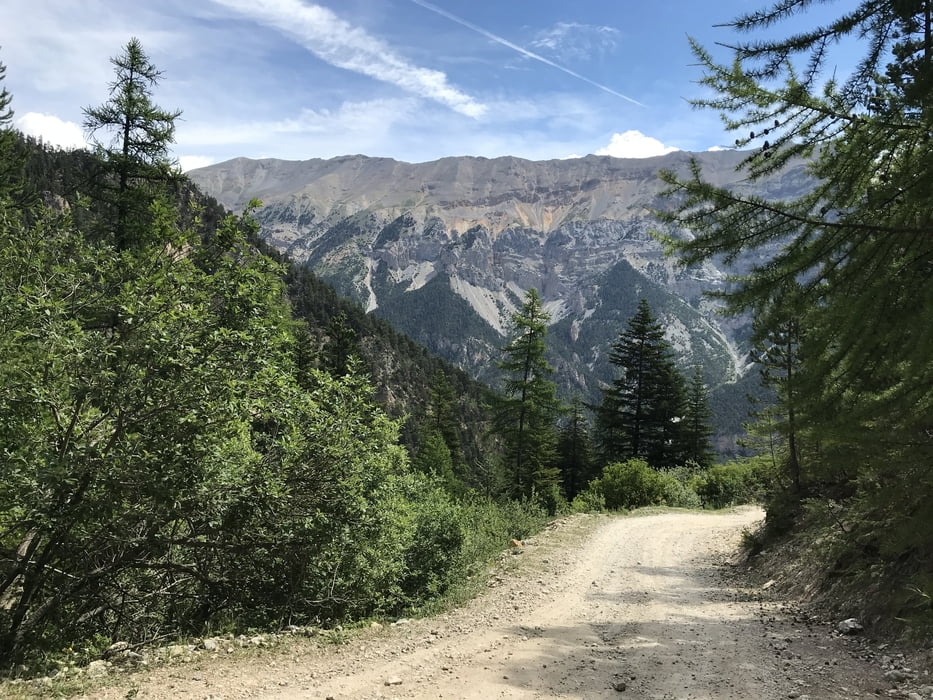

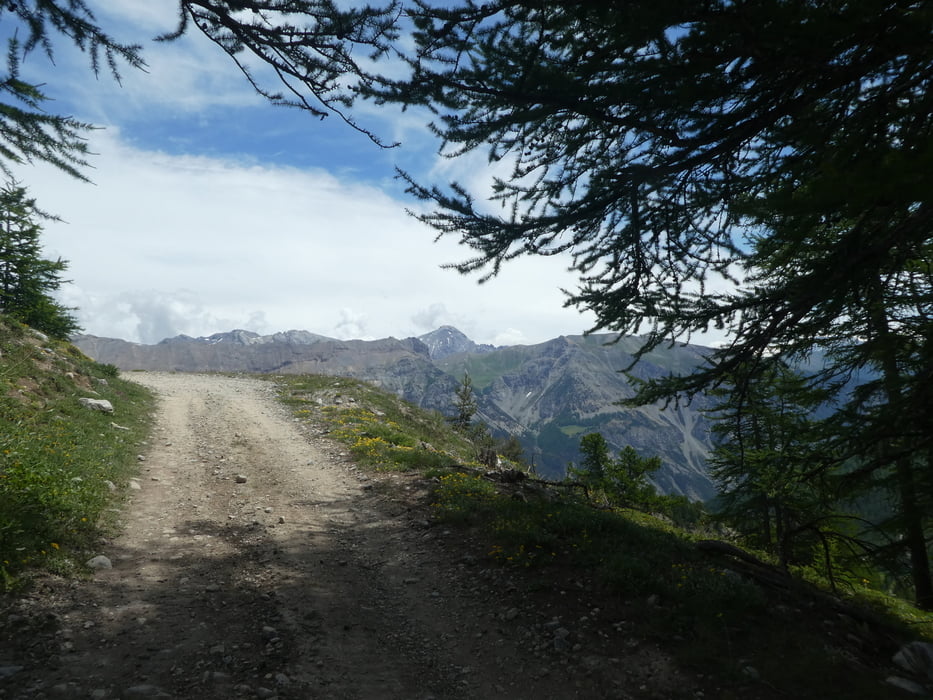
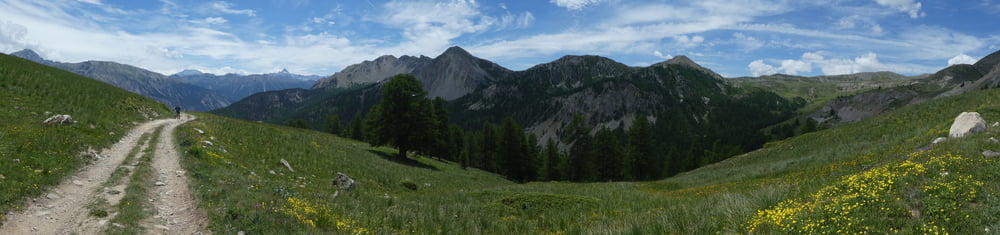
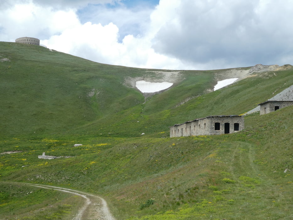
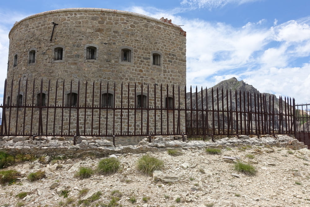
Vom Val-des-Pres sind wir in den Ort "la Draye" gefahren. Bevor man rechts über den Fluss fährt, biegt man links ab Richtung Col Granon. Die ganze Route wird auf Militärstraßen gefahren, wobei zumindesten für uns fallweise kurze Stücke zu Schieben waren. Auf ca. 1.950m befindet sich ein kleiner Ort, danach weitet sich die Hochebene und liefert traumhafte Aussichten. Auf ca. 2.300m sind wir links abgebogen. Da ist das Fort bereits von weitem zu sehen, die Strecke fordert noch einiges an Kondition. Dafür wurden wir oben beim Fort mit traumhaften Panorama belohnt.
Die gleiche Strecke sind wir retour gefahren.
Tour gallery
Tour map and elevation profile
Minimum height 1332 m
Maximum height 2516 m
More about the tour author
|
|
Astrid_Steindl04 |
Comments

Briancon befindet sich kurz nach der italienischen Grenze. Man fährt Richtung Norden ins Val-des-Pres.
GPS tracks
Trackpoints-
GPX / Garmin Map Source (gpx) download
-
TCX / Garmin Training Center® (tcx) download
-
CRS / Garmin Training Center® (crs) download
-
Google Earth (kml) download
-
G7ToWin (g7t) download
-
TTQV (trk) download
-
Overlay (ovl) download
-
Fugawi (txt) download
-
Kompass (DAV) Track (tk) download
-
Track data sheet (pdf) download
-
Original file of the author (gpx) download
More about the tour author
|
|
Astrid_Steindl04 |
Add to my favorites
Remove from my favorites
Edit tags
Open track
My score
Rate