

Auf Teer kann man bis auf das Plateau "Ancien Fort du Gondran" fahren.
Achtung!!! - Auf dieser Seite (südlich) ist ein Militärgebiet, auf dem zwischen 1.12. bis 15.4. von Montag bis Freitag geschossen werden kann und deshalb Todesgefahr besteht. So haben wir das nach ca. 500 bzw. 1.000 Höhenmetern auf Tafeln gelesen.
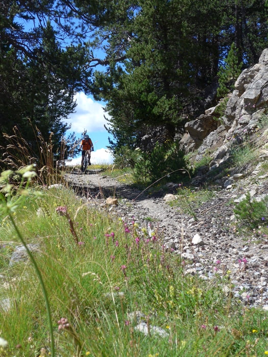
Von der nördlichen Seite (Montgenevre) kann beim Skigebiet ebenfalls hinauf gefahren werden, allerdings ist die Steigung dort nicht so moderat wie auf der Militärstraße.
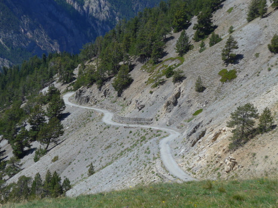
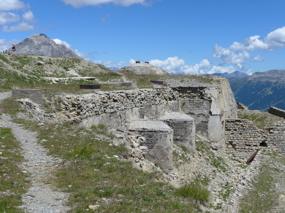
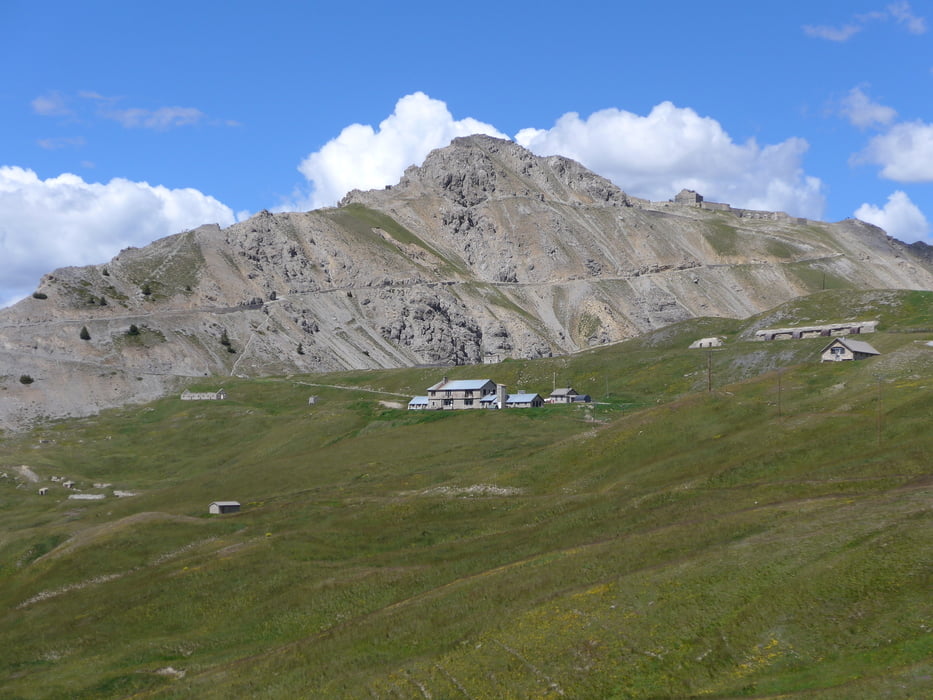
Auf dem Plateau ca. 2.300m sind dann nochmals ca. 200 Höhenmeter zu kurbeln, um zum Fort Janus 2.540m zu gelangen. Hier ist die Militärstraße schon sehr grob schottrig, aber super zum Herunterfahren. Für die Abfahrt haben wir den Weg direkt nach Briancon gewählt, der am Fort de l`Internet vorbei geht und in zahlreichen Serpentinen auf Schotter zur Festung oberhalb von Briancon führt. Bei dieser Route sind wir an vielen Stellungen und Festungen vorbeigefahren und hatten auf 2.540m eine traumhafte Aussicht auf die Bergwelt von Piemont.
Tour gallery
Tour map and elevation profile
Minimum height 1213 m
Maximum height 2516 m
More about the tour author
|
|
Astrid_Steindl04 |
Comments

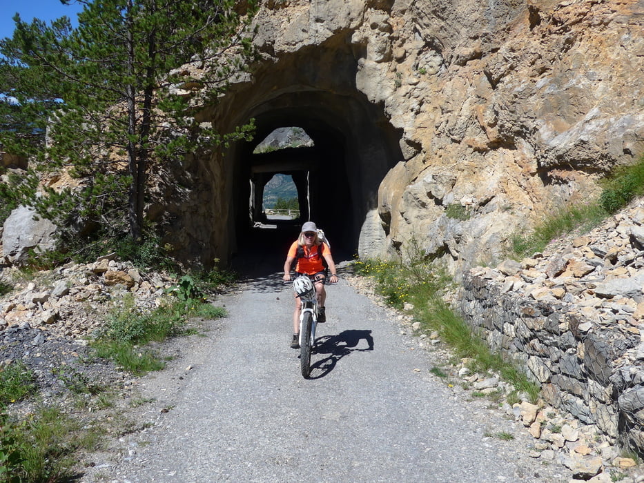
Von Briancon südöstlich auf der Autostraße D902 Richtung "Turrent de la Cerveyrette" (See). Am See geht links eine Militärstraße weg.
GPS tracks
Trackpoints-
GPX / Garmin Map Source (gpx) download
-
TCX / Garmin Training Center® (tcx) download
-
CRS / Garmin Training Center® (crs) download
-
Google Earth (kml) download
-
G7ToWin (g7t) download
-
TTQV (trk) download
-
Overlay (ovl) download
-
Fugawi (txt) download
-
Kompass (DAV) Track (tk) download
-
Track data sheet (pdf) download
-
Original file of the author (gpx) download
More about the tour author
|
|
Astrid_Steindl04 |
Add to my favorites
Remove from my favorites
Edit tags
Open track
My score
Rate