


Grünis Jubiläumstour durchs wunderschöne Markgräflerland.
Gestartet wird auf der Schwärze.
Hinauf geht es nun zur Burg Neuenfels wo wir einen herrlichen Ausblick über das Markgräflerland haben.
Dank Felix haben wir keinen Durst erleiden müssen.
Nach dem Brezel-Gutedelfrühstück geht es weiter über Muggardt zum 2. Pit-Stop.
Auch hier hat uns Felix wieder mit einem Weindepot überrascht.
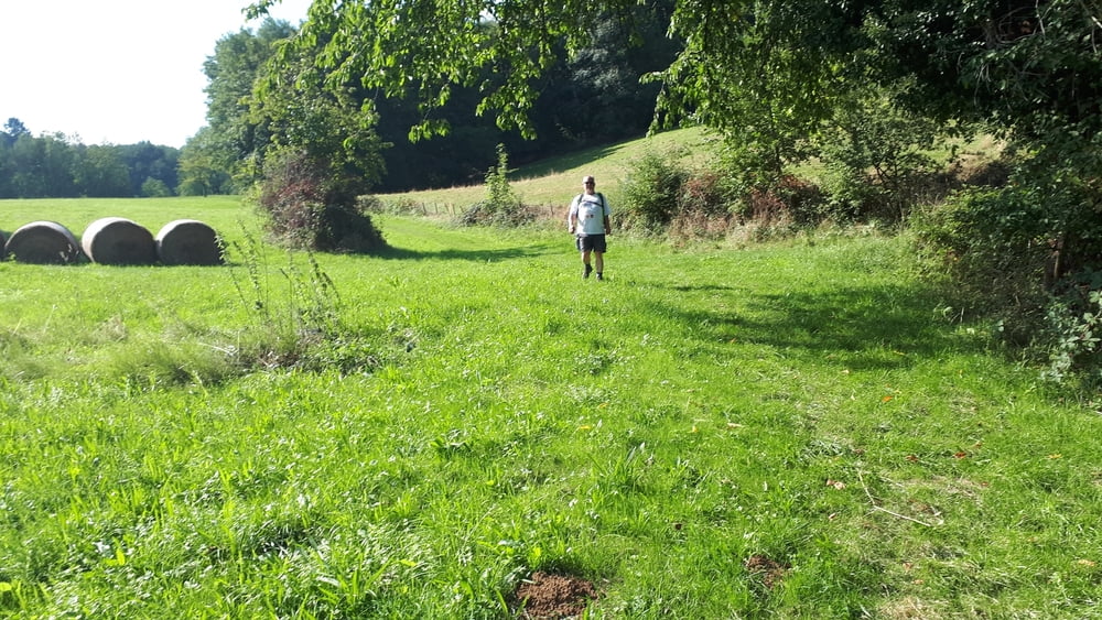
Hier am Bänkle oberhalb von Muggardt hat man einfach einen super schönen Blick.
Durch die Weinberge geht es nun zur Mittagsrast in die Ziegelhofstraußi.
Das Essen und auch der Wein sind hier einfach spitze.
Über Betberg geht es hinab nach Heitersheim wo wir in der Sulbachstraußi den Abend ausklingen lassen.
Markgräflerland, wir kommen wieder!
Further information at
https://de.wikipedia.org/wiki/Markgr%C3%A4flerlandTour gallery

Tour map and elevation profile
Minimum height 249 m
Maximum height 591 m
More about the tour author
|
|
Tom19 |
Comments

siehe Daten
GPS tracks
Trackpoints-
GPX / Garmin Map Source (gpx) download
-
TCX / Garmin Training Center® (tcx) download
-
CRS / Garmin Training Center® (crs) download
-
Google Earth (kml) download
-
G7ToWin (g7t) download
-
TTQV (trk) download
-
Overlay (ovl) download
-
Fugawi (txt) download
-
Kompass (DAV) Track (tk) download
-
Track data sheet (pdf) download
-
Original file of the author (gpx) download
More about the tour author
|
|
Tom19 |
Add to my favorites
Remove from my favorites
Edit tags
Open track
My score
Rate