


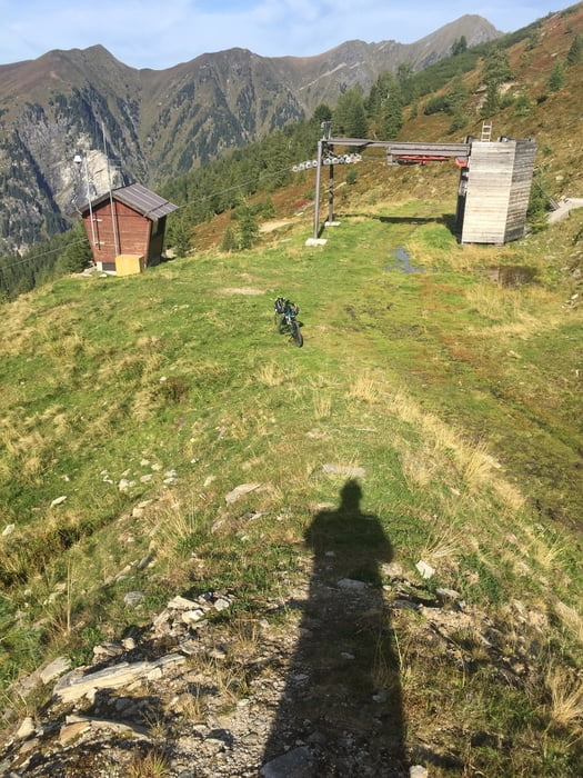
11.09.18 – Die Tour beginnt am Wetzlgut oberhalb des Bahnhofs von Bad Gastein. Von dort geht es die ersten Kilometer auf Asphalt hinauf bis hinter die Windischgrätzhöhe. Ab dann Schotterstraße und über die Mittelastation des Sesselliftes zur Bergstation Graukogel. Zurück den selben Weg und zum ausradeln nach Pöckstein bzw. neben der Gasteiner Ache zurück zum Ausgangspunkt.
Tour gallery
Tour map and elevation profile
Minimum height 1081 m
Maximum height 1992 m
More about the tour author
|
|
exitus |
Comments

Autobahn A10 (von Salzburg oder Villach kommend) abfahrt Bischofshofen, weiter auf der B311 bis kurz vor Lend - abbiegen auf die B167 nach Bad Gastein (PLZ 5640).
GPS tracks
Trackpoints-
GPX / Garmin Map Source (gpx) download
-
TCX / Garmin Training Center® (tcx) download
-
CRS / Garmin Training Center® (crs) download
-
Google Earth (kml) download
-
G7ToWin (g7t) download
-
TTQV (trk) download
-
Overlay (ovl) download
-
Fugawi (txt) download
-
Kompass (DAV) Track (tk) download
-
Track data sheet (pdf) download
-
Original file of the author (gpx) download
More about the tour author
|
|
exitus |
Add to my favorites
Remove from my favorites
Edit tags
Open track
My score
Rate