


Vo Parkplatz Trattenköpfl fahren wir ca. 150m der Geros Straße entlang und biegen dann links auf den Güterweg Krimmler Achental ein und folgen diesem 20km bis zum Talschluß. Nach 3.6 Kilometer passieren wir den unbeleuchteten Anna Tunnel auf einer Länge von 300 Meter. Eine Beluchtung ist umbedingt zu empfeheln.
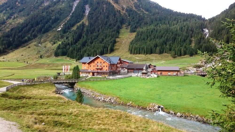
Am Talschluß angelangt zu Fuß ca. 1,5 Stunden bis zu unserm Ziel der Warnsdorfer Hütte die auf 2360 Meter liegt.
Tour gallery


Tour map and elevation profile
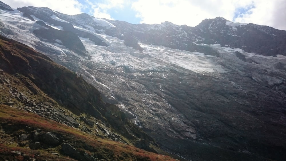
Minimum height 1218 m
Maximum height 2392 m
More about the tour author
|
|
hetzenauerm |
Comments

Anfahrt über Gerlos Straße bis zur Kere 2, nach der kere links Parkmöglichkeit auf dem Gebührenplichtigen Parkplatz Trattenköpfl.
GPS tracks
Trackpoints-
GPX / Garmin Map Source (gpx) download
-
TCX / Garmin Training Center® (tcx) download
-
CRS / Garmin Training Center® (crs) download
-
Google Earth (kml) download
-
G7ToWin (g7t) download
-
TTQV (trk) download
-
Overlay (ovl) download
-
Fugawi (txt) download
-
Kompass (DAV) Track (tk) download
-
Track data sheet (pdf) download
-
Original file of the author (gpx) download
More about the tour author
|
|
hetzenauerm |
Add to my favorites
Remove from my favorites
Edit tags
Open track
My score
Rate