
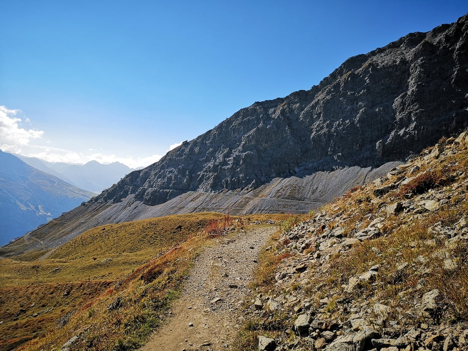

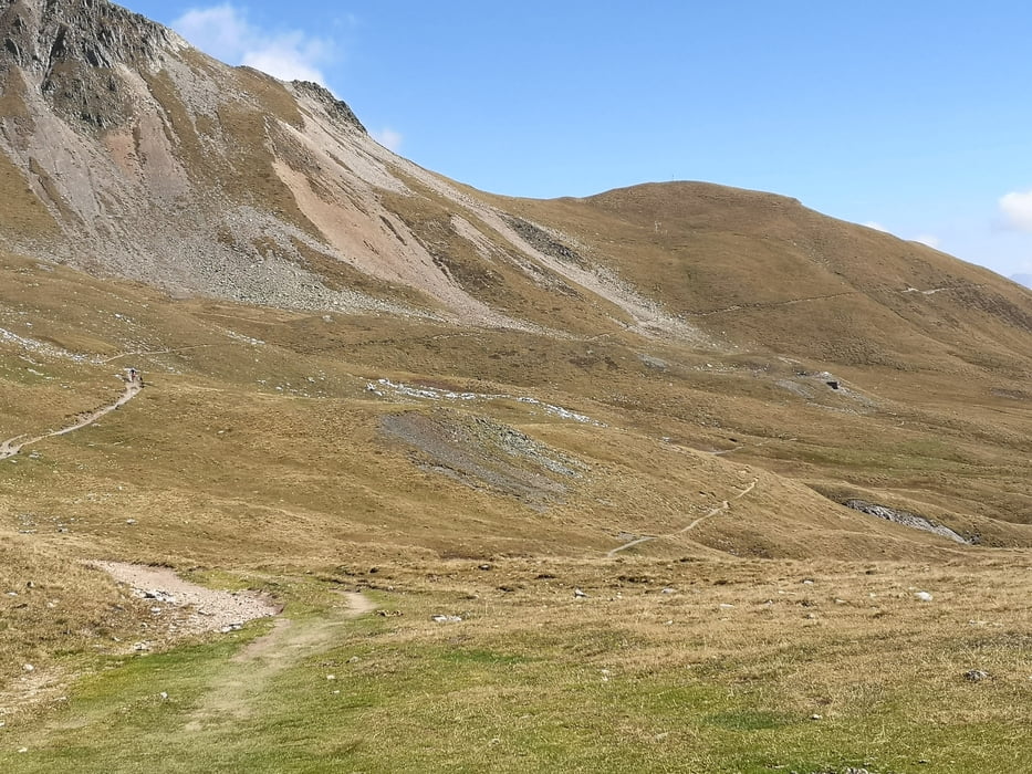
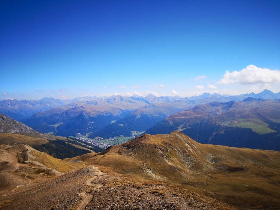
schön oft Beschrieben und trotzdem leg ich sie nochmals an. Die Tour ist wenn man mal bei der Mittelstation der Parsenn angekommen ist (per Pedale oder Bahn) fährt man den Panoramaweg richtung Strelapass, von dort weiter bis zum Horn. Dieser Teil ist gut fahrbar. Alternativ kann man auch zur Weissflugjoch Bergstation und dort den Felsenweg runter zum Strela nehmen. Der Trail runter vom Chöbschhorn nach Davos Frauenkirchen ist super, da er oft gefahren wird ist er ein wenig Verbraucht... aber er lohnt sich auf jeden Fall.
PS: ich bin mit dem Ebike unterwegs
Tour gallery

Tour map and elevation profile
Minimum height 1527 m
Maximum height 2601 m
More about the tour author
|
|
luckymaaa |
Comments

via Bahn oder Auto nach Davos
GPS tracks
Trackpoints-
GPX / Garmin Map Source (gpx) download
-
TCX / Garmin Training Center® (tcx) download
-
CRS / Garmin Training Center® (crs) download
-
Google Earth (kml) download
-
G7ToWin (g7t) download
-
TTQV (trk) download
-
Overlay (ovl) download
-
Fugawi (txt) download
-
Kompass (DAV) Track (tk) download
-
Track data sheet (pdf) download
-
Original file of the author (gpx) download
More about the tour author
|
|
luckymaaa |
Add to my favorites
Remove from my favorites
Edit tags
Open track
My score
Rate