


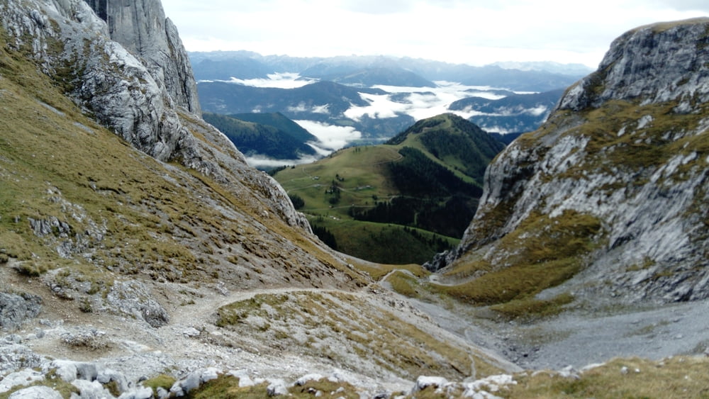
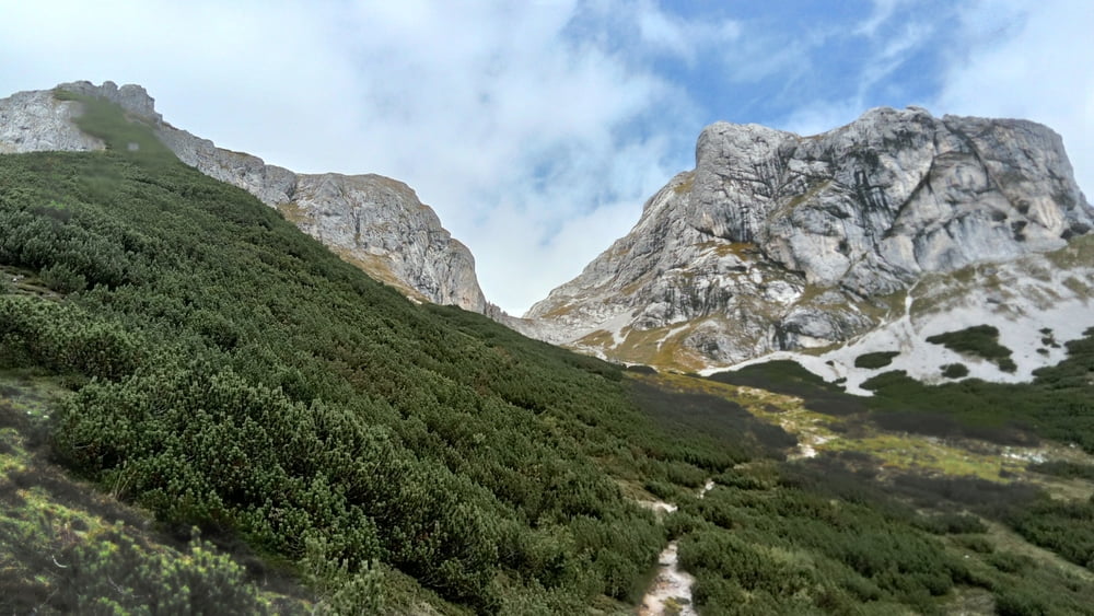
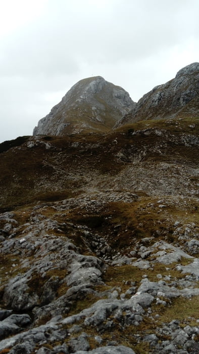
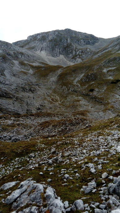
Vom großen Parkplatz in der Wengerau in 1 1/4 Std. hinauf zur Dr. Heinrich-Hackel-Hütte. Nun den steilen Hang queren und durch einen engen Durchlass zur Tauernscharte (1 1/4 Std.). Zunächst etwas flach und kurz absteigend Richtung Wengerscharte. Die Abzweigung zum Eiskogel bleibt unbeachtet. Nach einer felsigen Querung zweigt rechts der Aufstieg zur Schartwand ab. Teils weglos orientiert man sich an Stangen und Steinmandln. Auf dem Gipfel wird man von einer großen Steinpyramide empfangen (1 Std.). Das gläserne Kreuz ist leider nicht mehr vorhanden.
Rückweg auf dem Anstiegsweg (3 Std.).
Tour gallery
Tour map and elevation profile
Minimum height 957 m
Maximum height 2336 m
More about the tour author

|
JoHangler |
Comments

Auf der A10, Abfahrt Werfen nach Pfarrwerfen und weiter nach Werfenweng. Dort nach links auf den großen Parkplatz der Wengerau.
GPS tracks
Trackpoints-
GPX / Garmin Map Source (gpx) download
-
TCX / Garmin Training Center® (tcx) download
-
CRS / Garmin Training Center® (crs) download
-
Google Earth (kml) download
-
G7ToWin (g7t) download
-
TTQV (trk) download
-
Overlay (ovl) download
-
Fugawi (txt) download
-
Kompass (DAV) Track (tk) download
-
Track data sheet (pdf) download
-
Original file of the author (gpx) download
More about the tour author
|
|
JoHangler |
Add to my favorites
Remove from my favorites
Edit tags
Open track
My score
Rate